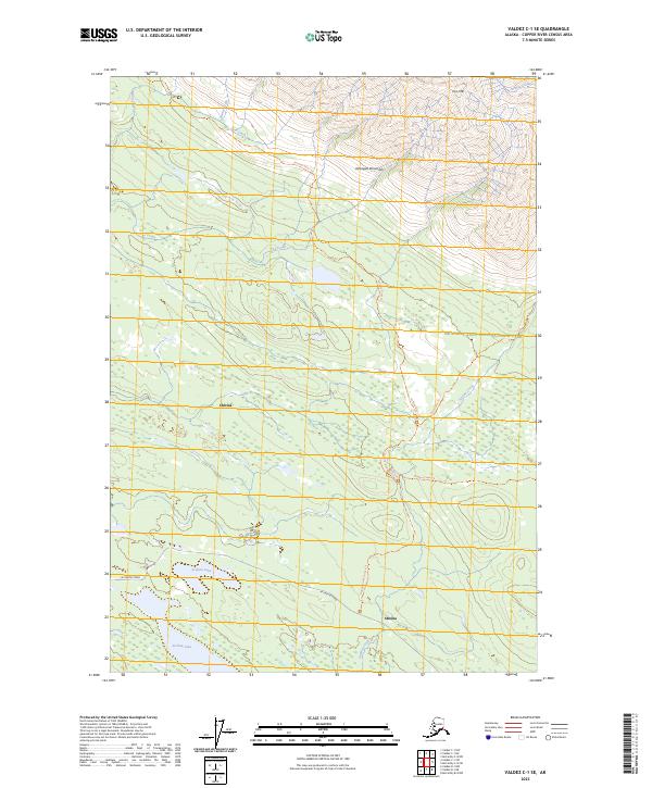
2023 Map of Valdez C-1 SE
USGS Topo · Published 2023About this map
Chitina and Strelna represent the primary points of human activity on this high-altitude landscape within the Wrangell-Saint Elias National Park. The geography is defined by the steep elevation changes of the Wrangell Mountains, where the drainage of Loraine Creek and Benita Creek flows southward from the heights of Iron Mtn. Central to the area’s connectivity is McCarthy Road, a vital artery that follows the lower elevations past Sculpin Lake and Strelna Lake.
Find a feature on this map
21 named features on this map. Tap any name to fly to it.
Don’t see what you’re looking for? This feature index may not catch every label — zoom into the map to look around manually.
Map Details
Editions of this 2023 Valdez C-1 SE Map
This is the sole edition of this map. No revisions or reprints were ever made.
Other maps of this area

1951 · McCarthy
USGS Topo · 1:250,000

1951 · Valdez B-1
USGS Topo · 1:63,360

1951 · McCarthy C-8
USGS Topo · 1:63,360

1951 · McCarthy B-8
USGS Topo · 1:63,360

1951 · Valdez C-1
USGS Topo · 1:63,360

1952 · Valdez
USGS Topo · 1:250,000

1953 · Valdez C-1
USGS Topo · 1:63,360

1960 · McCarthy
USGS Topo · 1:250,000

1960 · Valdez
USGS Topo · 1:250,000

1995 · McCarthy B-8
USGS Topo · 1:63,360