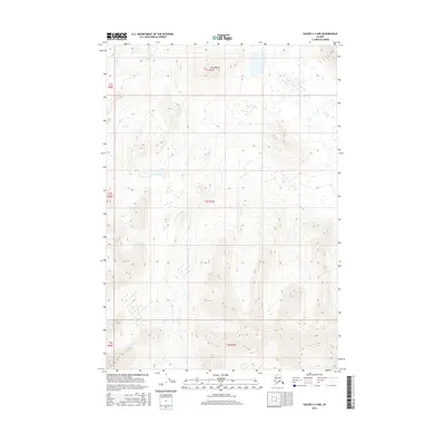
2016 Map of Valdez C-4 NW
USGS Topo · Published 2016About this map
Mt Durelle stands as the prominent landmark in this northern section of the Chugach Mountains, dominating the landscape of the t1s r1w and t2s r1w survey townships. The terrain is defined by dramatic elevation changes, where glacial valleys and steep ridgelines guide the seasonal flow of Squirrel Creek. This 2016 survey captures the area in a modern era of digital cartography, utilizing SPOT imagery and National Elevation Dataset contours to map the complex hydrology and drainage patterns of the unorganized borough. The map provides a precise look at the township and range system overlaying this wilderness, highlighting the relationship between high-altitude peaks and the drainage basins that feed into the larger Alaskan water systems.
Find a feature on this map
8 named features on this map. Tap any name to fly to it.
Don’t see what you’re looking for? This feature index may not catch every label — zoom into the map to look around manually.
Map Details
Editions of this 2016 Valdez C-4 NW Map
This is the sole edition of this map. No revisions or reprints were ever made.
Other maps of this area

1948 · Valdez D-5
USGS Topo · 1:63,360

1949 · Valdez D-4
USGS Topo · 1:63,360

1951 · Valdez D-5
USGS Topo · 1:63,360

1951 · Valdez C-4
USGS Topo · 1:63,360

1951 · Valdez C-5
USGS Topo · 1:63,360

1952 · Valdez
USGS Topo · 1:250,000

1952 · Valdez D-4
USGS Topo · 1:63,360

1953 · Valdez C-5
USGS Topo · 1:63,360

1953 · Valdez C-4
USGS Topo · 1:63,360

1960 · Valdez
USGS Topo · 1:250,000