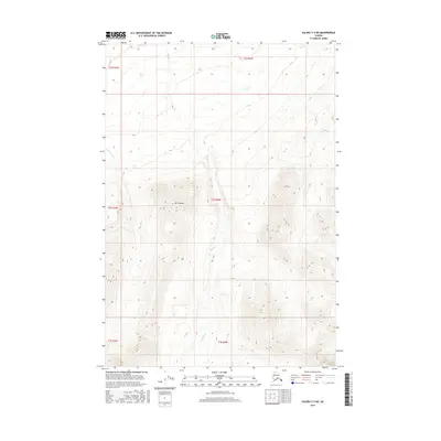
2016 Map of Valdez C-5 NE
USGS Topo · Published 2016About this map
Mt Simpson dominates the central landscape of this interior Alaskan wilderness, standing as a primary landmark amidst a complex drainage network. The topography is defined by the headwaters and tributaries of the Mahlo River, which carves through the northwestern quadrant. Flowing south through the heart of the territory, Manker Cr illustrates the typical high-latitude fluvial patterns of the Unorganized Borough. This 2016 survey captures the area in its raw state, with no roads or permanent settlements indicated, focusing instead on the hydrography and elevation contours that dictate movement through this subarctic environment. The presence of several township and range boundaries, including t2s r2w and t3s r2w, provides the essential cadastral framework used for land management in this undeveloped region.
Find a feature on this map
9 named features on this map. Tap any name to fly to it.
Don’t see what you’re looking for? This feature index may not catch every label — zoom into the map to look around manually.
Map Details
Editions of this 2016 Valdez C-5 NE Map
This is the sole edition of this map. No revisions or reprints were ever made.
Other maps of this area

1948 · Valdez D-5
USGS Topo · 1:63,360

1949 · Valdez D-4
USGS Topo · 1:63,360

1951 · Valdez D-5
USGS Topo · 1:63,360

1951 · Valdez C-4
USGS Topo · 1:63,360

1951 · Valdez C-5
USGS Topo · 1:63,360

1952 · Valdez
USGS Topo · 1:250,000

1952 · Valdez D-4
USGS Topo · 1:63,360

1953 · Valdez C-5
USGS Topo · 1:63,360

1953 · Valdez C-4
USGS Topo · 1:63,360

1960 · Valdez
USGS Topo · 1:250,000