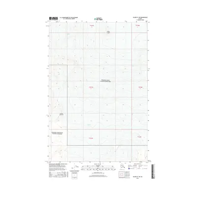
2016 Map of Valdez D-1 NE
USGS Topo · Published 2016About this map
Mount Wrangell Crater sits at the northern edge of this high-altitude survey, marking a significant volcanic feature within the Wrangell Mountains. The landscape is dominated by glacial movement, with Chetaslina Glacier and Cheshnina Glacier carving deep paths through the high country. Most of the terrain is protected as part of the Wrangell-Saint Elias National Park, with the southwestern corner falling under the Wrangell-Saint Elias National Preserve. The topographic contours illustrate the extreme relief of this Alaskan interior, where massive ice fields like Long Glacier define the drainage patterns and physical geography. This survey provides a precise look at the glacial extent and summit morphology in a region where few permanent settlements or roads exist, highlighting the dominance of natural forces over the built environment.
Find a feature on this map
13 named features on this map. Tap any name to fly to it.
Don’t see what you’re looking for? This feature index may not catch every label — zoom into the map to look around manually.
Map Details
Editions of this 2016 Valdez D-1 NE Map
This is the sole edition of this map. No revisions or reprints were ever made.
Other maps of this area

1950 · Nabesna
USGS Topo · 1:250,000

1951 · McCarthy
USGS Topo · 1:250,000

1951 · Gulkana
USGS Topo · 1:250,000

1951 · Nabesna
USGS Topo · 1:250,000

1952 · Valdez
USGS Topo · 1:250,000
1959 · Gulkana A-1
USGS Topo · 1:63,360

1959 · Gulkana
USGS Topo · 1:250,000

1959 · Nabesna A-6
USGS Topo · 1:63,360

1959 · Valdez D-1
USGS Topo · 1:63,360

1960 · McCarthy D-8
USGS Topo · 1:63,360