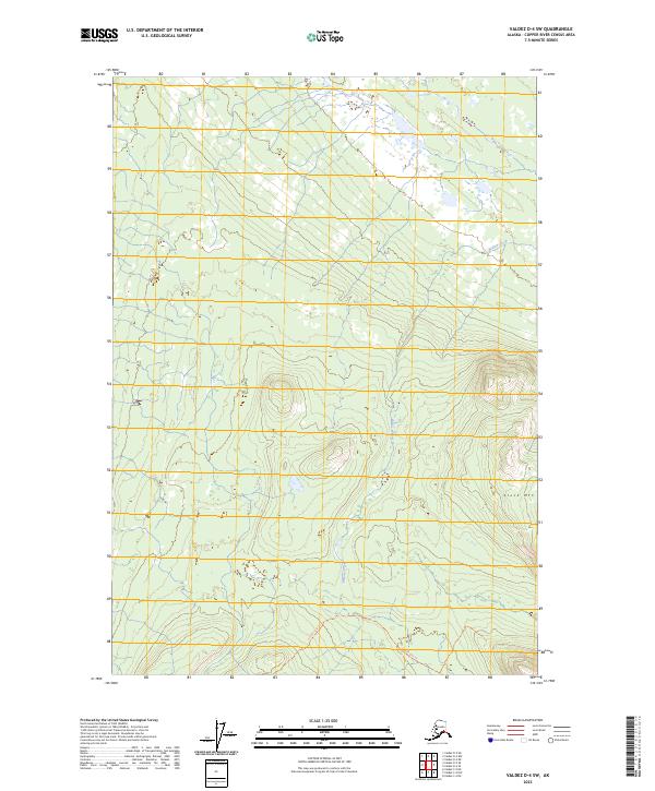
2023 Map of Valdez D-4 SW
USGS Topo · Published 2023About this map
Willow Creek meanders through this portion of the Copper River Census Area, carving a path through the valley floor as it flows between the townships of t1n r1w and t1s r1w. The landscape is dominated by the prominent elevation of Stuck Mtn in the southeast, which stands as a clear landmark above the surrounding wetlands and drainage systems. Human transit through this interior wilderness is marked by the presence of the Durelle Lake Trl, providing a terrestrial link through the watershed. This recent survey reflects the persistent character of the Alaskan interior, where the natural topography of mountains and creeks remains the primary defining feature of the land.
Find a feature on this map
7 named features on this map. Tap any name to fly to it.
Don’t see what you’re looking for? This feature index may not catch every label — zoom into the map to look around manually.
Map Details
Editions of this 2023 Valdez D-4 SW Map
This is the sole edition of this map. No revisions or reprints were ever made.
Other maps of this area

1948 · Valdez D-5
USGS Topo · 1:63,360

1949 · Valdez D-4
USGS Topo · 1:63,360

1951 · Valdez D-5
USGS Topo · 1:63,360

1951 · Valdez C-4
USGS Topo · 1:63,360

1951 · Valdez C-5
USGS Topo · 1:63,360

1952 · Valdez
USGS Topo · 1:250,000

1952 · Valdez D-4
USGS Topo · 1:63,360

1953 · Valdez C-5
USGS Topo · 1:63,360

1953 · Valdez C-4
USGS Topo · 1:63,360

1960 · Valdez
USGS Topo · 1:250,000