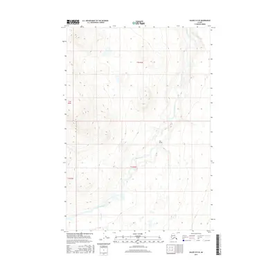
2016 Map of Valdez D-5 SE
USGS Topo · Published 2016About this map
Klutina River dominates this topographical study of the Alaskan interior, carving a distinct path through the Copper River basin. The river course leads into a significant narrowing of the valley floor identified as The Gorge, where the steepening contours suggest a dramatic shift in the waterway's behavior. This 2016 survey captures the wild character of the Unorganized Borough, focusing on the drainage patterns where Manker Creek joins the larger river system. The landscape is defined by its dramatic elevation changes and glacial-fed water features, showing a region largely untouched by permanent road infrastructure or industrial development during the early 21st century.
Find a feature on this map
7 named features on this map. Tap any name to fly to it.
Don’t see what you’re looking for? This feature index may not catch every label — zoom into the map to look around manually.
Map Details
Editions of this 2016 Valdez D-5 SE Map
This is the sole edition of this map. No revisions or reprints were ever made.
Other maps of this area

1948 · Valdez D-5
USGS Topo · 1:63,360

1949 · Valdez D-4
USGS Topo · 1:63,360

1951 · Valdez D-5
USGS Topo · 1:63,360

1951 · Valdez C-4
USGS Topo · 1:63,360

1951 · Valdez C-5
USGS Topo · 1:63,360

1952 · Valdez
USGS Topo · 1:250,000

1952 · Valdez D-4
USGS Topo · 1:63,360

1953 · Valdez C-5
USGS Topo · 1:63,360

1953 · Valdez C-4
USGS Topo · 1:63,360

1960 · Valdez
USGS Topo · 1:250,000