
1952 Map of Valdez
USGS Topo · Published 1952About this map
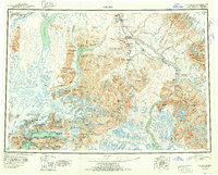
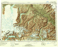
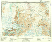
Valdez sits at the head of Port Valdez, serving as a critical coastal gateway during this early statehood era. This reconnaissance survey documents the vital transportation corridors of the Richardson Highway and Glenn Highway, which connected the maritime coast to the interior settlements of Copper Center and Chitina. The landscape is dominated by the massive ice fields of the Tazlina Glacier, Valdez Glacier, and Columbia Glacier, showing the intricate relationship between glaciated terrain and the developing road network. High-altitude mining activity is evident through remote outposts such as Midas Camp, Gold King Camp, and the Cliff Mine. Localized landmarks like Tiekel Cache and Ptarmigan Drop mark specific points of interest along the mountain passes, while the Copper River and its many tributaries, including the Klutina River and Tonsina River, define the region's drainage and historical travel routes.
Find a feature on this map
150 named features on this map. Tap any name to fly to it.
Don’t see what you’re looking for? This feature index may not catch every label — zoom into the map to look around manually.
Map Details
Editions of this 1952 Valdez Map
4 editions found
Other maps of this area

1948 · Cordova
USGS Topo · 1:250,000

1948 · Valdez D-5
USGS Topo · 1:63,360

1948 · Anchorage D-1
USGS Topo · 1:63,360

1949 · Gulkana A-3
USGS Topo · 1:63,360

1949 · Gulkana A-5
USGS Topo · 1:63,360

1949 · Talkeetna Mountains A-1
USGS Topo · 1:63,360

1949 · Valdez D-4
USGS Topo · 1:63,360

1949 · Gulkana A-6
USGS Topo · 1:63,360

1949 · Valdez D-8
USGS Topo · 1:63,360

1949 · Valdez D-6
USGS Topo · 1:63,360