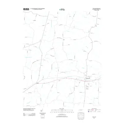
2013 Map of Vale
USGS Topo · Published 2013About this map
Hollow Rock serves as the primary community hub on this Tennessee landscape, where local streets like Main St and Holly Ln meet the rail corridor and Hollow Rock Br. The surrounding Carroll County countryside is defined by a dense network of watercourses and family-named landmarks, such as Rosser Pond near the settlement of Rosser and the varied branches of Beaver Creek. The drainage patterns are notably managed through the Crooked Creek Drainage Canal, which cuts through the western portion of the terrain.
Find a feature on this map
98 named features on this map. Tap any name to fly to it.
Don’t see what you’re looking for? This feature index may not catch every label — zoom into the map to look around manually.
Map Details
Editions of this 2013 Vale Map
This is the sole edition of this map. No revisions or reprints were ever made.
Other maps of this area

1936 · Seventeen Creek
USGS Topo · 1:24,000

1936 · Mansfield
USGS Topo · 1:24,000

1936 · Vale
USGS Topo · 1:24,000

1936 · Center Ridge
USGS Topo · 1:24,000

1936 · Bruceton
USGS Topo · 1:24,000

1936 · Buena Vista
USGS Topo · 1:24,000

1936 · Manleyville
USGS Topo · 1:24,000

1940 · Manleyville
USGS Topo · 1:24,000

1941 · Manleyville
USGS Topo · 1:24,000

1950 · Palmer Shelter
USGS Topo · 1:24,000