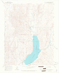
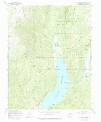
1964 Map of Vallecito Reservoir
USGS Topo · Published 1967About this map
Vallecito Reservoir dominates this high-altitude landscape within the San Juan National Forest, shown here during the mid-1960s. The map illustrates the sophisticated infrastructure of the day, from the spillway to the network of campgrounds like Middle Mountain Campground and Pine Point Campground that ring the water's edge. Beyond the recreational shoreline, the terrain rises sharply toward West Mountain and Middle Mountain, where old routes like the Endlich Mesa Pack Trail wind through narrow canyons and basins.
Find a feature on this map
55 named features on this map. Tap any name to fly to it.
Don’t see what you’re looking for? This feature index may not catch every label — zoom into the map to look around manually.
Map Details
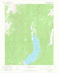
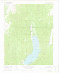
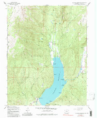
Editions of this 1964 Vallecito Reservoir Map
5 editions found
Other maps of this area

1900 · Needle Mountains
USGS Topo · 1:62,500

1902 · Needle Mountains
USGS Topo · 1:62,500

1905 · San Cristobal
USGS Topo · 1:125,000

1907 · San Cristobal
USGS Topo · 1:125,000

1908 · Ignacio
USGS Topo · 1:125,000

1924 · Ignacio
USGS Topo · 1:125,000

1924 · Pagosa Springs
USGS Topo · 1:125,000

1927 · Pagosa Springs
USGS Topo · 1:125,000

1945 · Durango
USGS Topo · 1:250,000

1953 · Durango
USGS Topo · 1:250,000