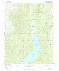
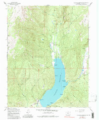
1964 Map of Vallecito Reservoir
USGS Topo · Published 1984About this map
Vallecito Reservoir dominates the drainage basin of the Los Pinos River in this mid-1960s survey of the high country. The map captures a landscape dedicated to recreation and water management within the San Juan National Forest, evidenced by the high density of campsites such as Vallecito Campground and Old Timers Campground. The rugged geography of West Mountain and Middle Mountain is traversed by the Endlich Mesa Trail and various pack routes, providing access to remote high-altitude features like Lake Eileen and the Chain Lakes. Beyond the water's edge, the map documents localized ranching and administration at the Vallecito Guard Station, Wits End Ranch, and Wilderness Trails Ranch. A small Gravel Pit near the northern inlet of the reservoir indicates the material needs for maintaining the area's infrastructure and roads.
Find a feature on this map
51 named features on this map. Tap any name to fly to it.
Don’t see what you’re looking for? This feature index may not catch every label — zoom into the map to look around manually.
Map Details
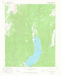
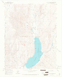
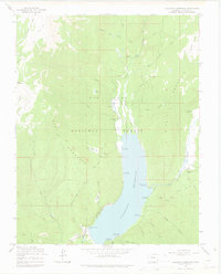
Editions of this 1964 Vallecito Reservoir Map
5 editions found
Other maps of this area

1900 · Needle Mountains
USGS Topo · 1:62,500

1902 · Needle Mountains
USGS Topo · 1:62,500

1905 · San Cristobal
USGS Topo · 1:125,000

1907 · San Cristobal
USGS Topo · 1:125,000

1908 · Ignacio
USGS Topo · 1:125,000

1924 · Ignacio
USGS Topo · 1:125,000

1924 · Pagosa Springs
USGS Topo · 1:125,000

1927 · Pagosa Springs
USGS Topo · 1:125,000

1945 · Durango
USGS Topo · 1:250,000

1953 · Durango
USGS Topo · 1:250,000