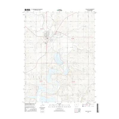
2016 Map of Valley Falls
USGS Topo · Published 2016About this map
Valley Falls sits at the confluence of several vital waterways in Jefferson County, where the Delaware River meets Walnut Cr and Brush Cr. The landscape is defined by the expansive waters of Perry Lake, which dominates the southern half of the map and impacts the local topography. This 2016 survey highlights the town's grid, featuring street names like Mulberry St, Sycamore St, and Caroline St. Genealogy and local history are anchored by three distinct burial grounds: Rose Hill Cem and Farrar Cem on the west side of the river, and Saint Marys Cem to the northeast. The surrounding rural areas are drained by numerous tributaries, including Rock Cr, Cedar Cr, and Bowies Br, illustrating the transition from the structured township to the undulating, water-carved Kansas prairie.
Find a feature on this map
62 named features on this map. Tap any name to fly to it.
Don’t see what you’re looking for? This feature index may not catch every label — zoom into the map to look around manually.
Map Details
Editions of this 2016 Valley Falls Map
This is the sole edition of this map. No revisions or reprints were ever made.
Other maps of this area

1886 · Oskaloosa
USGS Topo · 1:125,000

1888 · Oskaloosa
USGS Topo · 1:125,000

1889 · Topeka
USGS Topo · 1:125,000

1894 · Oskaloosa
USGS Topo · 1:125,000

1894 · Topeka
USGS Topo · 1:125,000

1950 · Kansas City
USGS Topo · 1:250,000
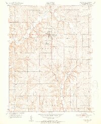
1951 · Oskaloosa
USGS Topo · 1:24,000

1951 · Ozawkie
USGS Topo · 1:24,000
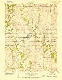
1952 · Meriden
USGS Topo · 1:24,000

1954 · Kansas City
USGS Topo · 1:250,000