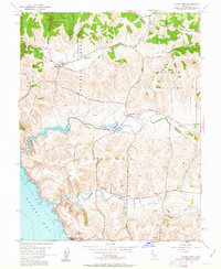
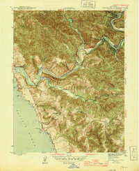
1954 Map of Valley Ford
USGS Topo · Published 1963About this map
Bodega and Valley Ford serve as the primary hubs in this coastal section of the North Bay, where the landscape is defined by the winding paths of the Estero Americano and the Estero de San Antonio. Surveyed in the mid-1950s, the map reveals a rural economy centered on small dairy settlements and ranching hubs like Fallon and Tomales. The distribution of local education is clearly marked by several rural schoolhouses, including Potter Sch, Watson Sch, and Burnside Sch, which were often the social anchors for outlying families.
Find a feature on this map
27 named features on this map. Tap any name to fly to it.
Don’t see what you’re looking for? This feature index may not catch every label — zoom into the map to look around manually.
Map Details
Editions of this 1954 Valley Ford Map
4 editions found
Other maps of this area

1916 · Point Reyes
USGS Topo · 1:48,000

1918 · Point Reyes
USGS Topo · 1:62,500

1935 · Sebastopol
USGS Topo · 1:48,000

1942 · Sebastopol
USGS Topo · 1:62,500

1942 · Bodega Head
USGS Topo · 1:24,000

1943 · Duncans Mills
USGS Topo · 1:24,000

1944 · Bodega Head
USGS Topo · 1:31,680
1945 · Duncans Mills
USGS Topo · 1:31,680

1947 · Santa Rosa
USGS Topo · 1:250,000

1949 · Santa Rosa
USGS Topo · 1:250,000