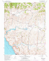
1954 Map of Valley Ford
USGS Topo · Published 1972About this map
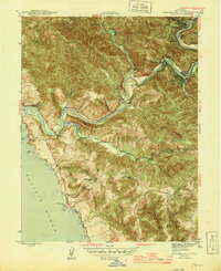
Valley Ford sits at the heart of this coastal landscape, where the Estero Americano winds through the hills toward Bodega Bay. The map reveals a rural economy organized around small settlements like Bodega, Freestone, and Fallon, with a network of country schools including Potter Sch, Watson Sch, and Burnside Sch serving the surrounding ranchlands. The topography is defined by significant watercourses like Salmon Creek and Stemple Creek, which carve through the Blucher and Cañada de Pogolimi regions.
Find a feature on this map
32 named features on this map. Tap any name to fly to it.
Don’t see what you’re looking for? This feature index may not catch every label — zoom into the map to look around manually.
Map Details
Editions of this 1954 Valley Ford Map
4 editions found
Other maps of this area

1916 · Point Reyes
USGS Topo · 1:48,000

1918 · Point Reyes
USGS Topo · 1:62,500

1935 · Sebastopol
USGS Topo · 1:48,000

1942 · Sebastopol
USGS Topo · 1:62,500

1942 · Bodega Head
USGS Topo · 1:24,000

1943 · Duncans Mills
USGS Topo · 1:24,000

1944 · Bodega Head
USGS Topo · 1:31,680
1945 · Duncans Mills
USGS Topo · 1:31,680

1947 · Santa Rosa
USGS Topo · 1:250,000

1949 · Santa Rosa
USGS Topo · 1:250,000