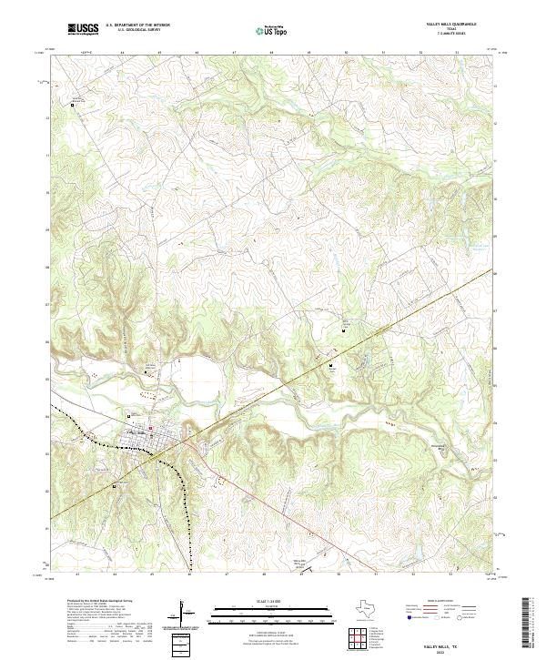
2022 Map of Valley Mills
USGS Topo · Published 2022About this map
The North Bosque River winds southeast across the central Texas landscape, cutting through the limestone terrain to form landmarks like Horseshoe Bend and Wildcat Canyon. The settlement of Valley Mills serves as the focal point, situated near the intersection of several regional farm roads and ranch routes. The map records several burial grounds that document the area's rural heritage, including the Old Valley Mills Cem and the Saint Johns Bismark Cem to the northwest. This modern survey illustrates the transition between traditional ranching land and the development around the Valley Mills Municipal Airport. To the north, the landscape is defined by drainage systems such as Hogan Cr and Eisenhower Br, while several private water bodies like Markum Lake Number 1 and Taylor Lake are tucked into the hills east of the river.
Find a feature on this map
66 named features on this map. Tap any name to fly to it.
Don’t see what you’re looking for? This feature index may not catch every label — zoom into the map to look around manually.
Map Details
Editions of this 2022 Valley Mills Map
This is the sole edition of this map. No revisions or reprints were ever made.
Other maps of this area

1888 · Meridian
USGS Topo · 1:125,000

1892 · Waco
USGS Topo · 1:125,000

1894 · Meridian
USGS Topo · 1:125,000

1920 · Waco
USGS Topo · 1:125,000

1924 · Waco 3-d
USGS Topo · 1:48,000

1931 · Whitney
USGS Topo · 1:62,500

1931 · Valley Mills
USGS Topo · 1:62,500

1954 · Waco
USGS Topo · 1:250,000

1955 · Waco
USGS Topo · 1:250,000

1955 · Clifton
USGS Topo · 1:24,000