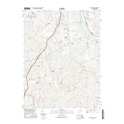
2016 Map of Valley Mills
USGS Topo · Published 2016About this map
Mid-Ohio Valley Regional Airport occupies the central plateau of this Wood County landscape, where the rising terrain of Ashby Ridge and Spider Ridge meets the Ohio River valley. The map reveals a dense network of family-named landmarks and rural congregations, such as Bethel Presbyterian Church Cem and Mount Moriah Church Cem. Small residential developments like Mustang Acres and Oakwood Estates are interspersed among older named locales including Boreman, Tallyho, and Waverly. Drainage patterns are intricately detailed, from the southern reaches of Gillespie Run to the Worthington Creek valley. Numerous small family plots, including the Mayo Cem, Pugh Cem, and Sharp Prince Cem, offer significant detail for genealogists tracing historical landholdings and community roots in this part of West Virginia.
Find a feature on this map
169 named features on this map. Tap any name to fly to it.
Don’t see what you’re looking for? This feature index may not catch every label — zoom into the map to look around manually.
Map Details
Editions of this 2016 Valley Mills Map
This is the sole edition of this map. No revisions or reprints were ever made.
Other maps of this area

1902 · Parkersburg
USGS Topo · 1:62,500

1904 · Parkersburg
USGS Topo · 1:62,500

1904 · Marietta
USGS Topo · 1:62,500

1906 · Elizabeth
USGS Topo · 1:62,500

1906 · Belleville
USGS Topo · 1:62,500

1924 · Belleville
USGS Topo · 1:62,500

1924 · Marietta
USGS Topo · 1:62,500

1924 · Elizabeth
USGS Topo · 1:62,500

1926 · Elizabeth
USGS Topo · 1:62,500

1926 · Belleville
USGS Topo · 1:62,500