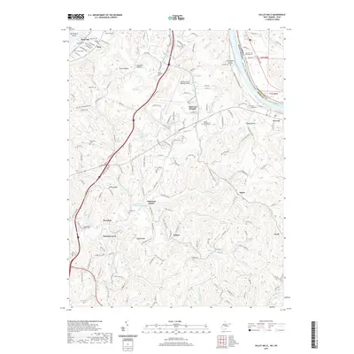
2019 Map of Valley Mills
USGS Topo · Published 2019About this map
The Ohio River forms the defining boundary on this 2019 survey, separating Wood County, West Virginia, from Washington County, Ohio. The landscape is characterized by a dense network of drainage runs and prominent ridges like Ashby Ridge and Spider Ridge that frame the residential developments of Elmwood Heights, Mustang Acres, and Oakwood Estates. Highlighting the region's infrastructure, the Mid-Ohio Valley Regional Airport occupies a centralized plateau, while the Williamstown Pike serves as a primary transit artery through the hilly interior.
Find a feature on this map
182 named features on this map. Tap any name to fly to it.
Don’t see what you’re looking for? This feature index may not catch every label — zoom into the map to look around manually.
Map Details
Editions of this 2019 Valley Mills Map
This is the sole edition of this map. No revisions or reprints were ever made.
Other maps of this area

1902 · Parkersburg
USGS Topo · 1:62,500

1904 · Parkersburg
USGS Topo · 1:62,500

1904 · Marietta
USGS Topo · 1:62,500

1906 · Elizabeth
USGS Topo · 1:62,500

1906 · Belleville
USGS Topo · 1:62,500

1924 · Belleville
USGS Topo · 1:62,500

1924 · Marietta
USGS Topo · 1:62,500

1924 · Elizabeth
USGS Topo · 1:62,500

1926 · Elizabeth
USGS Topo · 1:62,500

1926 · Belleville
USGS Topo · 1:62,500