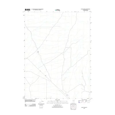
2012 Map of Valley Pass
USGS Topo · Published 2012About this map
Valley Pass and the surrounding high desert of Elko County are captured here in a 2012 snapshot of northeastern Nevada's transit landscape. The map centers on the historical significance of the passage through the mountains, marked by the namesake settlement of Valley Pass and the nearby site of Icarus. A network of unpaved roads and trails crisscrosses the terrain, converging near the Toano Post Office, which serves as a notable landmark for local history researchers tracing the development of mail routes and rural outposts in this region. The drainage of Toano Draw defines the natural flow of the land, providing a topographical anchor for understanding the movement of early settlers and contemporary travelers through this corridor.
Find a feature on this map
5 named features on this map. Tap any name to fly to it.
Don’t see what you’re looking for? This feature index may not catch every label — zoom into the map to look around manually.
Map Details
Editions of this 2012 Valley Pass Map
This is the sole edition of this map. No revisions or reprints were ever made.
Other maps of this area

1955 · Wells
USGS Topo · 1:250,000

1958 · Wells
USGS Topo · 1:250,000

1961 · Wells
USGS Topo · 1:250,000

1967 · Valley Pass
USGS Topo · 1:24,000

1967 · Loray
USGS Topo · 1:24,000

1967 · Montello Canyon
USGS Topo · 1:24,000

1967 · Ninemile Mtn SW
USGS Topo · 1:24,000

1967 · Cobre SE
USGS Topo · 1:24,000

1967 · Cobre
USGS Topo · 1:24,000

1968 · Pequop
USGS Topo · 1:24,000