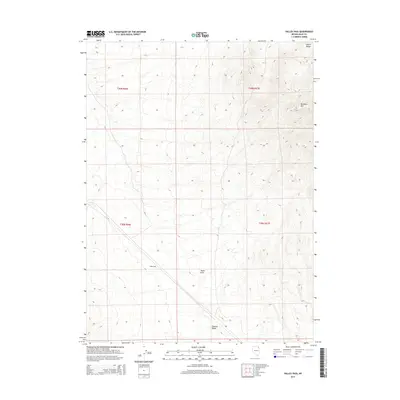
2015 Map of Valley Pass
USGS Topo · Published 2015About this map
Valley Pass serves as a critical geographic transition point in the high desert of Elko County, marking a passage between the Leach Range and the Pequop Mountains. This 2015 survey illustrates the drainage patterns and significant elevation shifts of the Great Basin, where Toano Draw descends toward the expansive Goshute Valley to the south. The terrain is dominated by the prominent peak of Murdock Mtn, which towers over the eastern portion of the quadrangle. The map layout reflects the typical Western public land survey system, clearly demarcating townships such as t39n r67e and t38n r66e. This area has long been a corridor for movement across the desert, with the terrain dictating the paths of both natural washes and modern transport routes that utilize the natural low point of the pass.
Find a feature on this map
9 named features on this map. Tap any name to fly to it.
Don’t see what you’re looking for? This feature index may not catch every label — zoom into the map to look around manually.
Map Details
Editions of this 2015 Valley Pass Map
This is the sole edition of this map. No revisions or reprints were ever made.
Other maps of this area

1955 · Wells
USGS Topo · 1:250,000

1958 · Wells
USGS Topo · 1:250,000

1961 · Wells
USGS Topo · 1:250,000

1967 · Valley Pass
USGS Topo · 1:24,000

1967 · Loray
USGS Topo · 1:24,000

1967 · Montello Canyon
USGS Topo · 1:24,000

1967 · Ninemile Mtn SW
USGS Topo · 1:24,000

1967 · Cobre SE
USGS Topo · 1:24,000

1967 · Cobre
USGS Topo · 1:24,000

1968 · Pequop
USGS Topo · 1:24,000