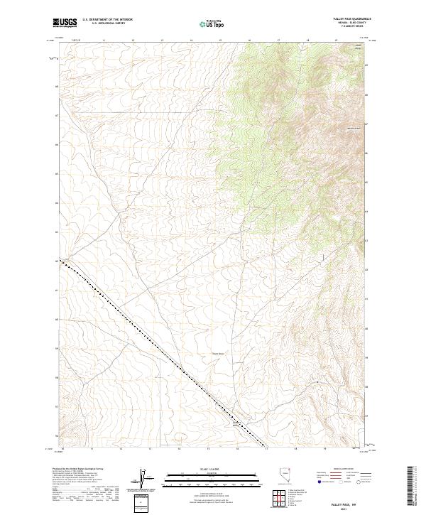
2021 Map of Valley Pass
USGS Topo · Published 2021About this map
Toano Draw cuts through this high-altitude interior basin of Elko County, defining the drainage patterns of a landscape situated between significant Great Basin uplifts. The northeastern corner is dominated by the steep slopes of the Leach Range, which transitions into the prominent heights of Murdock Mtn. To the south, the terrain levels into the broad expanse of Goshute Valley, a geographic feature that has historically influenced travel and settlement patterns across this part of Nevada. This 2021 update from the U.S. Geological Survey provides an intricate view of the topography and public land survey system lines including t39n r67e and t38n r66e, documenting the contemporary state of this sparsely populated desert region.
Find a feature on this map
9 named features on this map. Tap any name to fly to it.
Don’t see what you’re looking for? This feature index may not catch every label — zoom into the map to look around manually.
Map Details
Editions of this 2021 Valley Pass Map
This is the sole edition of this map. No revisions or reprints were ever made.
Other maps of this area

1955 · Wells
USGS Topo · 1:250,000

1958 · Wells
USGS Topo · 1:250,000

1961 · Wells
USGS Topo · 1:250,000

1967 · Valley Pass
USGS Topo · 1:24,000

1967 · Loray
USGS Topo · 1:24,000

1967 · Montello Canyon
USGS Topo · 1:24,000

1967 · Ninemile Mtn SW
USGS Topo · 1:24,000

1967 · Cobre SE
USGS Topo · 1:24,000

1967 · Cobre
USGS Topo · 1:24,000

1968 · Pequop
USGS Topo · 1:24,000