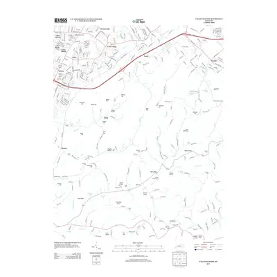
2013 Map of Valley Station
USGS Topo · Published 2013About this map
Waverly Hills and the residential clusters of Prairie Village and Valley Gardens define the northern suburban landscape of this 2013 survey. The terrain transitions from the developed corridors along Valley Station and the 841 highway into the more varied topography of the south, where high points like Mitchell Hill and Jefferson Hill rise above the drainage of Pond Cr. This area is particularly dense with genealogical markers, featuring numerous family and community burial grounds such as Bethany Memorial Cem, Horine Cem, and the McDaniel Cem. Industrial and transport footprints are visible at Brooks Field Airport and the Holscan Lookout Tower, while the southern reaches near Big Flat and Martins Hill reflect the smaller-scale settlement patterns typical of the region's knobs and hollows.
Find a feature on this map
78 named features on this map. Tap any name to fly to it.
Don’t see what you’re looking for? This feature index may not catch every label — zoom into the map to look around manually.
Map Details
Editions of this 2013 Valley Station Map
This is the sole edition of this map. No revisions or reprints were ever made.
Other maps of this area

1907 · Louisville
USGS Topo · 1:62,500

1909 · Kosmosdale
USGS Topo · 1:48,000

1912 · Kosmosdale
USGS Topo · 1:62,500

1936 · Vine Grove
USGS Topo · 1:62,500

1943 · Vine Grove
USGS Topo · 1:62,500

1946 · Pitts Point
USGS Topo · 1:24,000

1946 · Fort Knox
USGS Topo · 1:24,000

1946 · Vine Grove
USGS Topo · 1:62,500

1949 · Shepherdsville
USGS Topo · 1:24,000

1949 · Shepherdsville
USGS Topo · 1:62,500