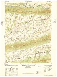
1947 Map of Valley View
USGS Topo · Published 1947About this map
Valleys of the Pennsylvania anthracite region are defined here by the parallel ridges of Little Mahanoy Mountain, Mahantango Mountain, and Bear Mountain. The settlement pattern follows the fertile lowlands, where towns like Valley View and Hegins serve as central hubs for the surrounding agricultural and mining communities. A remarkable density of local institutions is evident, including the Heplers Summer School (Open Air) and multiple denominational anchors such as the Evang Lutheran Church and St Pauls Union Church. These landmarks, along with the numerous small cemeteries and secondary schools like the Pitman School, provide a detailed genealogical record of the mid-20th-century inhabitants of this corner of Schuylkill County. The drainage of the Little Mahantango Creek and Deep Creek further illustrates the complex local hydrology that dictated road placement and farm boundaries during this era.
Find a feature on this map
30 named features on this map. Tap any name to fly to it.
Don’t see what you’re looking for? This feature index may not catch every label — zoom into the map to look around manually.
Map Details
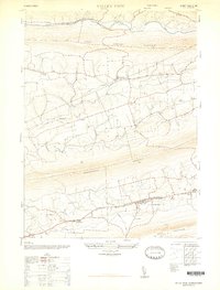
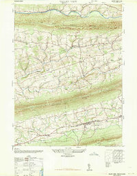
Editions of this 1947 Valley View Map
3 editions found
Other maps of this area

1889 · Catawissa
USGS Topo · 1:62,500

1892 · Catawissa
USGS Topo · 1:62,500

1892 · Lykens
USGS Topo · 1:62,500

1892 · Shamokin
USGS Topo · 1:62,500

1892 · Pine Grove
USGS Topo · 1:62,500

1893 · Lykens
USGS Topo · 1:62,500

1893 · Shamokin
USGS Topo · 1:62,500

1894 · Catawissa
USGS Topo · 1:62,500

1943 · Lykens
USGS Topo · 1:62,500

1943 · Shamokin
USGS Topo · 1:62,500
Featured Places
- Hegins Township, PA
- West Cameron Township, PA
- Hubley Township, PA
- Eldred Township, PA
- East Cameron Township, PA