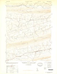
1947 Map of Valley View
USGS Topo · Published 1947About this map
Valley View and Hegins anchor the southern portion of this 1947 topographic survey, showing a landscape defined by the parallel ridges of the Pennsylvania coal region. The terrain is dominated by the massive presence of Little Mahanoy Mountain, Mahantango Mountain, and Bear Mountain, which funnel settlement into the long, fertile valleys between them. These rural pockets are dotted with many local institutions, including the Evang Lutheran Church near Pitman and a network of one-room schoolhouses like Columbia School and Wilson School.
Find a feature on this map
33 named features on this map. Tap any name to fly to it.
Don’t see what you’re looking for? This feature index may not catch every label — zoom into the map to look around manually.
Map Details
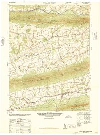
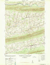
Editions of this 1947 Valley View Map
3 editions found
Other maps of this area

1889 · Catawissa
USGS Topo · 1:62,500

1892 · Catawissa
USGS Topo · 1:62,500

1892 · Lykens
USGS Topo · 1:62,500

1892 · Shamokin
USGS Topo · 1:62,500

1892 · Pine Grove
USGS Topo · 1:62,500

1893 · Lykens
USGS Topo · 1:62,500

1893 · Shamokin
USGS Topo · 1:62,500

1894 · Catawissa
USGS Topo · 1:62,500

1943 · Lykens
USGS Topo · 1:62,500

1943 · Shamokin
USGS Topo · 1:62,500
Featured Places
- Hegins Township, PA
- West Cameron Township, PA
- Hubley Township, PA
- Eldred Township, PA
- East Cameron Township, PA