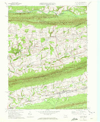
1969 Map of Valley View
USGS Topo · Published 1972About this map
The ridge-and-valley landscape of Schuylkill County is defined here by the parallel alignments of Line Mountain and Mahantango Mountain. Between these heights, the 1969 landscape shows a rural Pennsylvania character marked by small settlements like Sacramento, Hegins, and Valley View. These communities are connected by roads such as Schwenks Road and Gap School Road, which follow the natural contours of the valley floors near Pine Creek.
Find a feature on this map
43 named features on this map. Tap any name to fly to it.
Don’t see what you’re looking for? This feature index may not catch every label — zoom into the map to look around manually.
Map Details
Editions of this 1969 Valley View Map
2 editions found
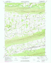
Other maps of this area

1889 · Catawissa
USGS Topo · 1:62,500

1892 · Catawissa
USGS Topo · 1:62,500

1892 · Lykens
USGS Topo · 1:62,500

1892 · Shamokin
USGS Topo · 1:62,500

1892 · Pine Grove
USGS Topo · 1:62,500

1893 · Lykens
USGS Topo · 1:62,500

1893 · Shamokin
USGS Topo · 1:62,500

1894 · Catawissa
USGS Topo · 1:62,500

1943 · Lykens
USGS Topo · 1:62,500

1943 · Shamokin
USGS Topo · 1:62,500
Featured Places
- Hegins Township, PA
- West Cameron Township, PA
- Hubley Township, PA
- Eldred Township, PA
- East Cameron Township, PA