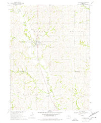
1969 Map of Valparaiso
USGS Topo · Published 1978About this map
Valparaiso sits at the junction of several drainage systems in southern Saunders County, where the Union Pacific railroad corridor tracks alongside North Oak Creek. The landscape in the late 1960s is defined by a dense network of rural infrastructure, including numerous small schoolhouses like North Star Sch and Indian Camp Sch that reflect the area's agricultural history. Further south, the village of Agnew anchors the border near Saunders and Lancaster Counties.
Find a feature on this map
27 named features on this map. Tap any name to fly to it.
Don’t see what you’re looking for? This feature index may not catch every label — zoom into the map to look around manually.
Map Details
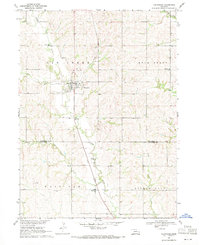
Editions of this 1969 Valparaiso Map
2 editions found
Other maps of this area

1897 · Lincoln
USGS Topo · 1:125,000

1899 · Wahoo
USGS Topo · 1:125,000

1955 · Fremont
USGS Topo · 1:250,000

1955 · Lincoln
USGS Topo · 1:250,000

1957 · Fremont
USGS Topo · 1:250,000

1957 · Lincoln
USGS Topo · 1:250,000

1958 · Fremont
USGS Topo · 1:250,000

1958 · Lincoln
USGS Topo · 1:250,000
1964 · Garland
USGS Topo · 1:24,000

1964 · Davey
USGS Topo · 1:24,000