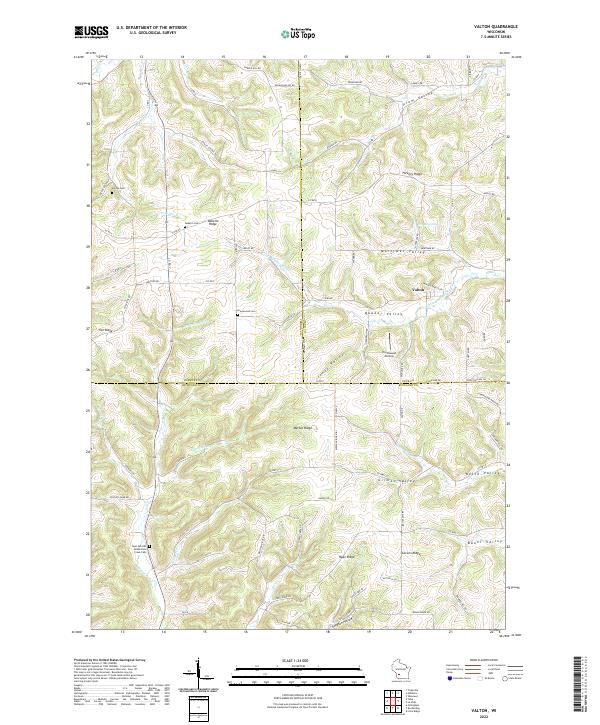
2022 Map of Valton
USGS Topo · Published 2022About this map
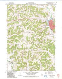
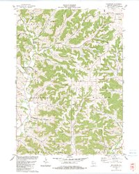
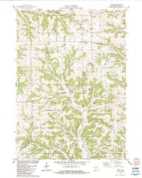
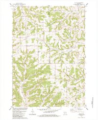
Valton sits at the junction of several valley systems in this modern topographic study of the Driftless Area borders. The landscape is defined by its dendritic drainage patterns, where the Little Baraboo River and Melancthon Cr have carved a complex network of ridges and hollows, including Debello Ridge and Hickory Ridge. The human geography is marked by isolated rural cemeteries and family-named landmarks that hint at the area's pioneer heritage. Genealogists will find the locations of Saint Patricks Melancthon Creek Cem, Greenwood Cem, and Shreve Cem particularly useful for tracing early settlement families. The land use remains primarily agricultural, with road names like Staley School Rd and German Valley Rd reflecting the community's historical development. The presence of the Northwood Airstrip in Quaker Valley provides a contemporary counterpoint to the traditional farmsteads scattered across Marble Ridge and Mortimer Valley.
Find a feature on this map
89 named features on this map. Tap any name to fly to it.
Don’t see what you’re looking for? This feature index may not catch every label — zoom into the map to look around manually.
Map Details
Editions of this 2022 Valton Map
This is the sole edition of this map. No revisions or reprints were ever made.
Historical Maps of Greenwood Through Time
13 maps found
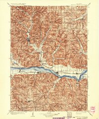
1905 Richland Center
Richland County, WI
1960 Richland Center
Richland County, WI
1983 Gillingham
Richland County, WI
1983 Richland Center
Richland County, WI
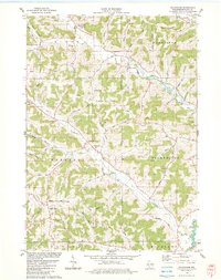
1983 Rockbridge
Richland County, WI
1983 Sabin
Richland County, WI
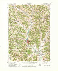
1983 Valton
Richland County, WI

1985 Richland Center
Richland County, WI
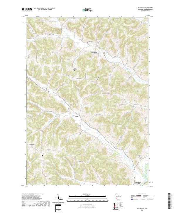
2022 Gillingham
Richland County, WI
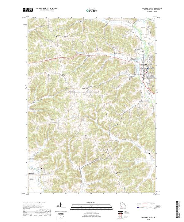
2022 Richland Center
Richland County, WI
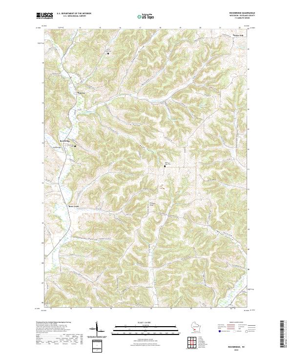
2022 Rockbridge
Richland County, WI
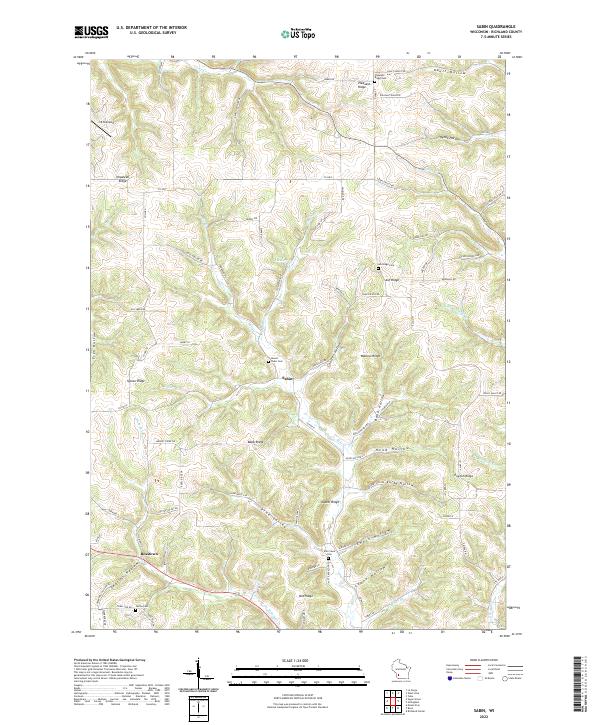
2022 Sabin
Richland County, WI
2022 Valton
Richland County, WI