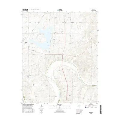
2016 Map of Vamoosa
USGS Topo · Published 2016About this map
Lake Konowa dominates the landscape of Seminole County in this mid-2010s topographic survey, where the waters are held by a significant dam structure west of Vamoosa. The map provides a detailed view of the rural settlements of Konawa and Tyrola, tracing their street grids and proximity to the winding course of the Canadian River. This river corridor forms the natural boundary between Seminole and Pontotoc counties, with Byng located just to the south.
Find a feature on this map
35 named features on this map. Tap any name to fly to it.
Don’t see what you’re looking for? This feature index may not catch every label — zoom into the map to look around manually.
Map Details
Editions of this 2016 Vamoosa Map
This is the sole edition of this map. No revisions or reprints were ever made.
Other maps of this area

1896 · Seminole and Prague
USGS Topo · 1:125,000

1901 · Stonewall
USGS Topo · 1:125,000

1907 · Maud
USGS Topo · 1:62,500

1908 · Maud
USGS Topo · 1:62,500

1954 · Oklahoma City
USGS Topo · 1:250,000

1957 · Ardmore
USGS Topo · 1:250,000

1957 · Oklahoma City
USGS Topo · 1:250,000

1958 · Sasakwa
USGS Topo · 1:24,000

1958 · Francis
USGS Topo · 1:24,000

1958 · Ada
USGS Topo · 1:24,000