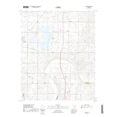
2018 Map of Vamoosa
USGS Topo · Published 2018About this map
Lake Konawa and the winding course of the Canadian River anchor this 2018 survey of the Oklahoma landscape where Seminole and Pontotoc counties meet. The map reveals a high density of small family and community burial grounds, essential for genealogical research in this part of the state. These include the High Springs Cem, Nash-Wood Cem, Tiger Cem, and East Fairview Cem, scattered across a terrain shaped by local drainages like Jumper Cr and Sandy Cr.
Find a feature on this map
66 named features on this map. Tap any name to fly to it.
Don’t see what you’re looking for? This feature index may not catch every label — zoom into the map to look around manually.
Map Details
Editions of this 2018 Vamoosa Map
This is the sole edition of this map. No revisions or reprints were ever made.
Other maps of this area

1896 · Seminole and Prague
USGS Topo · 1:125,000

1901 · Stonewall
USGS Topo · 1:125,000

1907 · Maud
USGS Topo · 1:62,500

1908 · Maud
USGS Topo · 1:62,500

1954 · Oklahoma City
USGS Topo · 1:250,000

1957 · Ardmore
USGS Topo · 1:250,000

1957 · Oklahoma City
USGS Topo · 1:250,000

1958 · Sasakwa
USGS Topo · 1:24,000

1958 · Francis
USGS Topo · 1:24,000

1958 · Ada
USGS Topo · 1:24,000