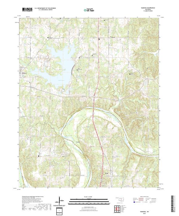
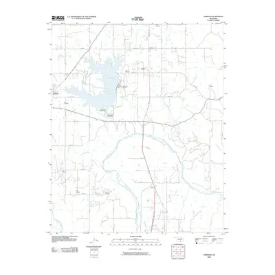
2022 Map of Vamoosa
USGS Topo · Published 2022About this map
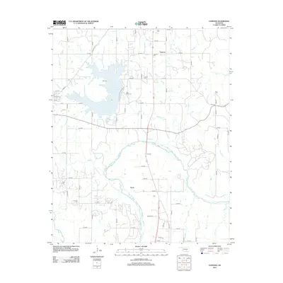
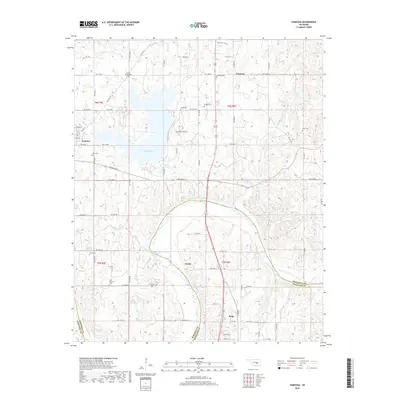
Lake Konawa and its adjacent reservoirs dominate the central landscape of this Seminole County region, serving as a primary hydrologic focal point north of the Canadian River. The settlement of Konawa is positioned to the west, while the smaller communities of Vamoosa, Tyrola, and Byng anchor the surrounding rural sections. The map reveals a dense network of local-history sites, particularly within the numerous family and community burial grounds that dot the terrain, such as High Springs Indian Cem and Seminole Baptist Church Cem.
Find a feature on this map
73 named features on this map. Tap any name to fly to it.
Don’t see what you’re looking for? This feature index may not catch every label — zoom into the map to look around manually.
Map Details
Editions of this 2022 Vamoosa Map
This is the sole edition of this map. No revisions or reprints were ever made.
Historical Maps of Konawa Through Time
36 maps found
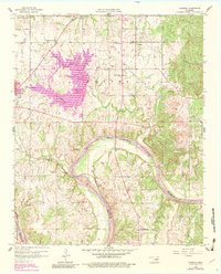
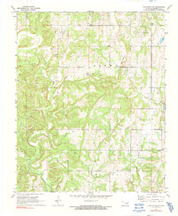
1958 Vamoosa
Seminole County, OK
1967 Prague SE
Seminole County, OK
1967 Prague SW
Seminole County, OK
1972 Tate Mountain
Seminole County, OK
1972 Wewoka West
Seminole County, OK
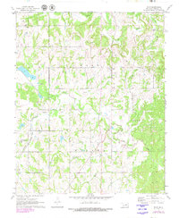
1972 Wolf
Seminole County, OK
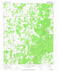
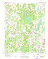
2009 Vamoosa
Seminole County, OK
2009 Wewoka West
Seminole County, OK
2010 Prague SE
Seminole County, OK
2010 Prague SW
Seminole County, OK
2010 Tate Mountain
Seminole County, OK
2010 Wolf
Seminole County, OK
2012 Prague SW
Seminole County, OK

2012 Tate Mountain
Seminole County, OK
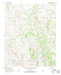
2012 Vamoosa
Seminole County, OK
2012 Wewoka West
Seminole County, OK
2012 Wolf
Seminole County, OK
2013 Prague SE
Seminole County, OK
2016 Prague SE
Seminole County, OK
2016 Prague SW
Seminole County, OK
2016 Tate Mountain
Seminole County, OK
2016 Vamoosa
Seminole County, OK
2016 Wewoka West
Seminole County, OK
2016 Wolf
Seminole County, OK
2018 Prague SE
Seminole County, OK
2018 Prague SW
Seminole County, OK
2018 Tate Mountain
Seminole County, OK
2018 Vamoosa
Seminole County, OK
2018 Wewoka West
Seminole County, OK
2018 Wolf
Seminole County, OK
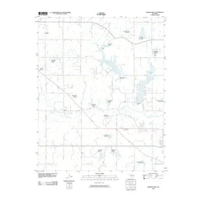
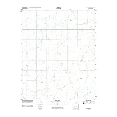
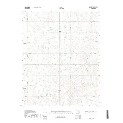
2022 Prague SE
Seminole County, OK
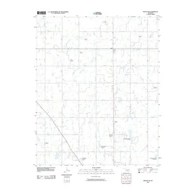
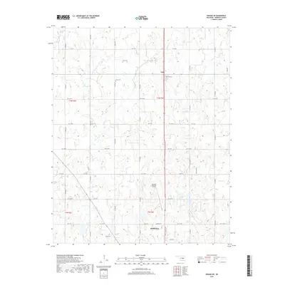
2022 Prague SW
Seminole County, OK
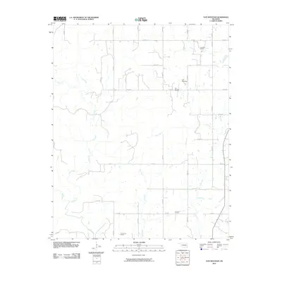
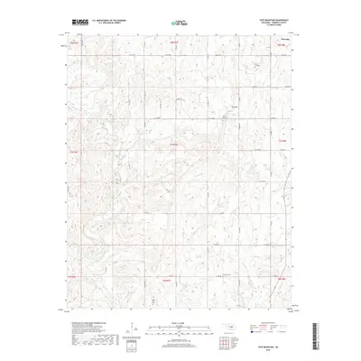
2022 Tate Mountain
Seminole County, OK
2022 Vamoosa
Seminole County, OK
2022 Wewoka West
Seminole County, OK
2022 Wolf
Seminole County, OK