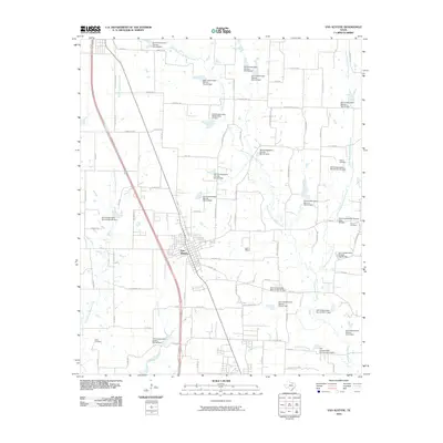
2010 Map of Van Alstyne
USGS Topo · Published 2010About this map
Van Alstyne serves as the central hub of this North Texas landscape, where the street grid of the town center contrasts with the wide-reaching network of rural roads and watercourses. The area is defined by its drainage systems, including the headwaters and branches of Hurricane Creek, East Prong Whites Creek, and West Prong Sister Grove Creek. A notable characteristic of the terrain is the extensive infrastructure of the Soil Conservation Service, which has established numerous water control structures such as Soil Conservation Service Site 30 Dam and Soil Conservation Service Site 42 Dam to manage the watershed. Genealogists will find interest in the scattered burial grounds that dot the countryside, including Baker Cemetery to the west and Morris Cemetery and Cannon Cemetery to the east. These landmarks, alongside older thoroughfares like Old Hwy 6 and Oil Mill Rd, reflect the agricultural foundations and steady growth of this portion of Collin and Grayson Counties.
Find a feature on this map
80 named features on this map. Tap any name to fly to it.
Don’t see what you’re looking for? This feature index may not catch every label — zoom into the map to look around manually.
Map Details
Editions of this 2010 Van Alstyne Map
This is the sole edition of this map. No revisions or reprints were ever made.
Other maps of this area

1901 · Denison
USGS Topo · 1:125,000

1954 · Sherman
USGS Topo · 1:250,000

1958 · Dorchester
USGS Topo · 1:24,000

1958 · Whitesright
USGS Topo · 1:62,500

1958 · Sherman
USGS Topo · 1:250,000

1958 · Sherman
USGS Topo · 1:62,500

1958 · Howe
USGS Topo · 1:24,000

1960 · Blue Ridge
USGS Topo · 1:24,000

1961 · Gunter
USGS Topo · 1:24,000

1961 · Van Alstyne
USGS Topo · 1:24,000