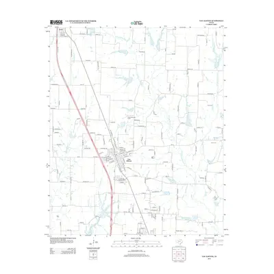
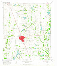
2013 Map of Van Alstyne
USGS Topo · Published 2013About this map
Van Alstyne and the northern outskirts of Anna serve as the primary hubs in this north Texas landscape, where the flat, fertile plains are defined by an intricate network of waterways. The terrain is bifurcated by the massive north-south corridor of S Collins Fwy, reflecting the modern expansion of the Dallas-Fort Worth metroplex toward the Oklahoma border. Beyond the highway, the land remains largely agricultural, drained by several forks including W Prong Whites Cr and Sister Grove Cr. Small, isolated landmarks like the J & W Windy Hill Airport suggest the transition from traditional farming to decentralized rural services. For those tracing family ties to the area, the map preserves the exact locations of local burial grounds such as Morris Cem and Cannon Cem, while the small settlement of Newport sits just south of the primary town center.
Find a feature on this map
151 named features on this map. Tap any name to fly to it.
Don’t see what you’re looking for? This feature index may not catch every label — zoom into the map to look around manually.
Map Details
Editions of this 2013 Van Alstyne Map
This is the sole edition of this map. No revisions or reprints were ever made.
Other maps of this area
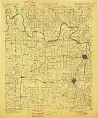
1901 · Denison
USGS Topo · 1:125,000

1954 · Sherman
USGS Topo · 1:250,000
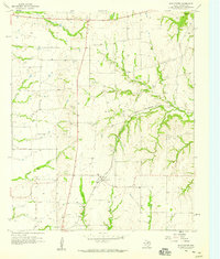
1958 · Dorchester
USGS Topo · 1:24,000
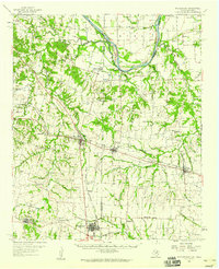
1958 · Whitesright
USGS Topo · 1:62,500

1958 · Sherman
USGS Topo · 1:250,000
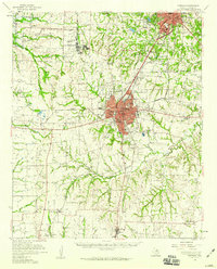
1958 · Sherman
USGS Topo · 1:62,500
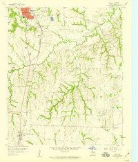
1958 · Howe
USGS Topo · 1:24,000
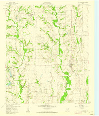
1960 · Blue Ridge
USGS Topo · 1:24,000
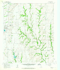
1961 · Gunter
USGS Topo · 1:24,000
1961 · Van Alstyne
USGS Topo · 1:24,000