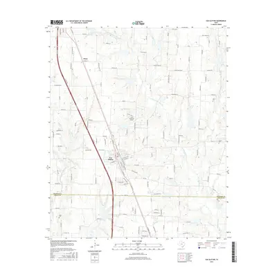
2016 Map of Van Alstyne
USGS Topo · Published 2016About this map
Van Alstyne and the southern edge of Howe define this corridor along the border of Grayson and Collin counties. Modern transportation infrastructure is prominent, centered on the US Hwy 75 thoroughfare and local connectors like FM 121. The residential and commercial layout of Van Alstyne is clearly mapped, showing a grid including N Preston St and S Waco St that reflects its growth as a regional hub. South of the town center, the J & W Windy Hill Airport serves the local aviation needs of this North Texas community.
Find a feature on this map
34 named features on this map. Tap any name to fly to it.
Don’t see what you’re looking for? This feature index may not catch every label — zoom into the map to look around manually.
Map Details
Editions of this 2016 Van Alstyne Map
This is the sole edition of this map. No revisions or reprints were ever made.
Other maps of this area

1901 · Denison
USGS Topo · 1:125,000

1954 · Sherman
USGS Topo · 1:250,000

1958 · Dorchester
USGS Topo · 1:24,000

1958 · Whitesright
USGS Topo · 1:62,500

1958 · Sherman
USGS Topo · 1:250,000

1958 · Sherman
USGS Topo · 1:62,500

1958 · Howe
USGS Topo · 1:24,000

1960 · Blue Ridge
USGS Topo · 1:24,000

1961 · Gunter
USGS Topo · 1:24,000

1961 · Van Alstyne
USGS Topo · 1:24,000