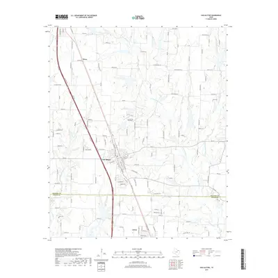
2019 Map of Van Alstyne
USGS Topo · Published 2019About this map
Van Alstyne and Anna anchor the central and southern portions of this landscape, reflecting the modern growth of these North Texas communities. The terrain is defined by the branching tributaries of the regional drainage system, including Hurricane Creek and the various forks of Sister Grove Creek. This 2019 survey provides a precise look at the road network connecting Grayson and Collin Counties, from the heavy transit corridor of the South Collins Freeway to rural routes like Old Patterson Road. Genealogists and local historians will find several established burial grounds documented across the area, such as Taylor Cemetary in the northeast and Baker Cem to the southwest. The presence of J & W Windy Hill Airport further illustrates the mixed land use between suburban development and remaining open fields.
Find a feature on this map
142 named features on this map. Tap any name to fly to it.
Don’t see what you’re looking for? This feature index may not catch every label — zoom into the map to look around manually.
Map Details
Editions of this 2019 Van Alstyne Map
This is the sole edition of this map. No revisions or reprints were ever made.
Other maps of this area

1901 · Denison
USGS Topo · 1:125,000

1954 · Sherman
USGS Topo · 1:250,000

1958 · Dorchester
USGS Topo · 1:24,000

1958 · Whitesright
USGS Topo · 1:62,500

1958 · Sherman
USGS Topo · 1:250,000

1958 · Sherman
USGS Topo · 1:62,500

1958 · Howe
USGS Topo · 1:24,000

1960 · Blue Ridge
USGS Topo · 1:24,000

1961 · Gunter
USGS Topo · 1:24,000

1961 · Van Alstyne
USGS Topo · 1:24,000