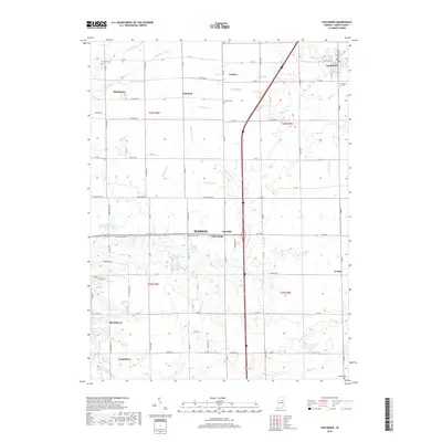
2019 Map of Van Buren
USGS Topo · Published 2019About this map
Van Buren and the northern outskirts of Gas City define the landscape of northeastern Grant County in this recent survey. The map reveals a highly structured agricultural and residential grid, where historic communities like Landess and Hanfield persist alongside modern expansions such as Brookhaven. Water management is a primary feature of the local geography, with a dense network of drainage systems including Necessity Ditch, Tinkle Ditch, and Baker Ditch supporting the surrounding farmland.
Find a feature on this map
72 named features on this map. Tap any name to fly to it.
Don’t see what you’re looking for? This feature index may not catch every label — zoom into the map to look around manually.
Map Details
Editions of this 2019 Van Buren Map
This is the sole edition of this map. No revisions or reprints were ever made.
Other maps of this area

1950 · Warren
USGS Topo · 1:24,000

1950 · Mount Etna
USGS Topo · 1:24,000

1951 · Mount Etna
USGS Topo · 1:24,000

1952 · Warren
USGS Topo · 1:24,000

1953 · La Fontaine
USGS Topo · 1:24,000

1953 · Muncie
USGS Topo · 1:250,000

1956 · Muncie
USGS Topo · 1:250,000

1960 · Fairmount
USGS Topo · 1:24,000

1960 · Gas City
USGS Topo · 1:24,000

1960 · Hartford City West
USGS Topo · 1:24,000