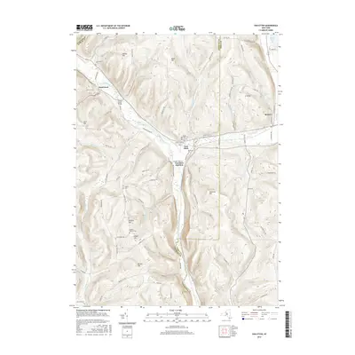
2016 Map of Van Etten
USGS Topo · Published 2016About this map
Van Etten serves as the central hub of this 2016 survey, situated at the confluence of several creek valleys along the Chemung and Tioga County line. The settlement pattern follows the drainages of Cayuta Creek and its tributaries, such as Langford Cr and Wynkoop Cr. For genealogists and local historians, the map is remarkably dense with family-named landmarks and small burial grounds, including the Jenkins Cem and Rumsey-Getman Cem located on the high ground of Rumsey Hill. To the north, the small community of Swartwood sits near the crossing of Cayuta Creek Bridge, while the northeastern corner shows the edge of Spencer near Spencer Lake. The terrain is defined by a series of prominent rises including Nobles Hill, Blake Hill, and Doolittle Hill, which dictate the winding paths of rural routes like Beckhorn Hollow Rd and Cramer Hollow Rd.
Find a feature on this map
85 named features on this map. Tap any name to fly to it.
Don’t see what you’re looking for? This feature index may not catch every label — zoom into the map to look around manually.
Map Details
Editions of this 2016 Van Etten Map
This is the sole edition of this map. No revisions or reprints were ever made.
Other maps of this area

1893 · Ithaca
USGS Topo · 1:62,500

1895 · Ithaca
USGS Topo · 1:62,500

1900 · Dryden
USGS Topo · 1:62,500

1902 · Waverly
USGS Topo · 1:62,500

1903 · Owego
USGS Topo · 1:62,500

1905 · Watkins Glen
USGS Topo · 1:125,000

1906 · Catatonk
USGS Topo · 1:125,000

1949 · Willseyville
USGS Topo · 1:24,000

1950 · Elmira
USGS Topo · 1:250,000

1950 · Alpine
USGS Topo · 1:24,000