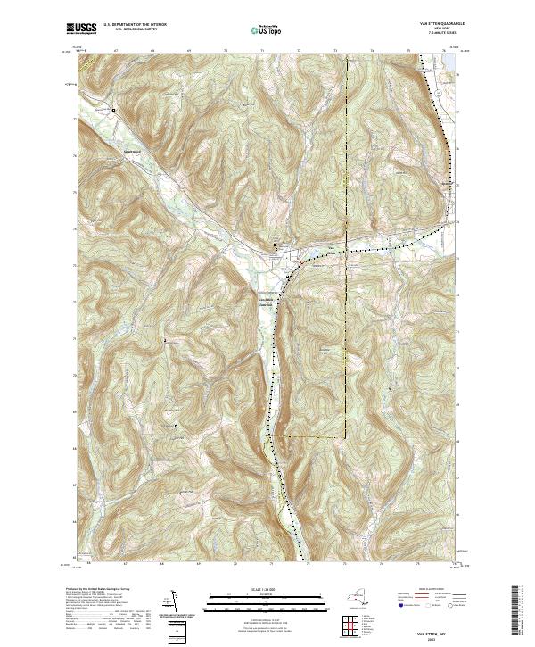
2023 Map of Van Etten
USGS Topo · Published 2023About this map
Cayuta Creek carves a central valley through this section of the Southern Tier, where the village of Van Etten serves as a hub for local commerce and transport. The landscape is defined by a series of steep ridges and high points, including Rumsey Hill and Blake Hill, which separate the various creek drainages. Transport history is anchored by the Lehigh Valley RR, which follows the water level through Van Etten Junction, a critical point for regional rail movement near the Chemung and Tioga County border.
Find a feature on this map
87 named features on this map. Tap any name to fly to it.
Don’t see what you’re looking for? This feature index may not catch every label — zoom into the map to look around manually.
Map Details
Editions of this 2023 Van Etten Map
This is the sole edition of this map. No revisions or reprints were ever made.
Other maps of this area

1893 · Ithaca
USGS Topo · 1:62,500

1895 · Ithaca
USGS Topo · 1:62,500

1900 · Dryden
USGS Topo · 1:62,500

1902 · Waverly
USGS Topo · 1:62,500

1903 · Owego
USGS Topo · 1:62,500

1905 · Watkins Glen
USGS Topo · 1:125,000

1906 · Catatonk
USGS Topo · 1:125,000

1949 · Willseyville
USGS Topo · 1:24,000

1950 · Elmira
USGS Topo · 1:250,000

1950 · Alpine
USGS Topo · 1:24,000