
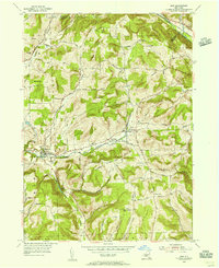
2023 Map of Van Etten
USGS Topo · Published 2023About this map
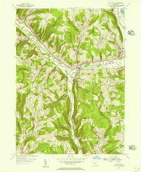
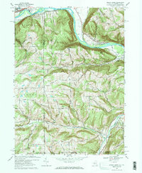
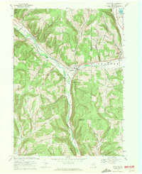
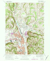
Cayuta Creek carves a central valley through this section of the Southern Tier, where the village of Van Etten serves as a hub for local commerce and transport. The landscape is defined by a series of steep ridges and high points, including Rumsey Hill and Blake Hill, which separate the various creek drainages. Transport history is anchored by the Lehigh Valley RR, which follows the water level through Van Etten Junction, a critical point for regional rail movement near the Chemung and Tioga County border.
Find a feature on this map
87 named features on this map. Tap any name to fly to it.
Don’t see what you’re looking for? This feature index may not catch every label — zoom into the map to look around manually.
Map Details
Editions of this 2023 Van Etten Map
This is the sole edition of this map. No revisions or reprints were ever made.
Historical Maps of Van Etten Junction Through Time
16 maps found
1953 Big Flats
Chemung County, NY
1953 Horseheads
Chemung County, NY
1953 Seeley Creek
Chemung County, NY
1954 Erin
Chemung County, NY
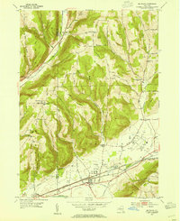
1954 Van Etten
Chemung County, NY
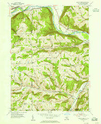
1969 Big Flats
Chemung County, NY
1969 Erin
Chemung County, NY
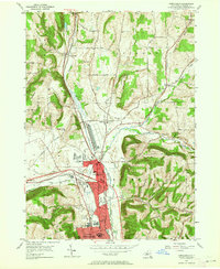
1969 Horseheads
Chemung County, NY
1969 Seeley Creek
Chemung County, NY
1969 Van Etten
Chemung County, NY
1978 Horseheads
Chemung County, NY

2023 Big Flats
Chemung County, NY

2023 Erin
Chemung County, NY

2023 Horseheads
Chemung County, NY

2023 Seeley Creek
Chemung County, NY
2023 Van Etten
Chemung County, NY