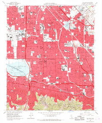
1966 Map of Van Nuys
USGS Topo · Published 1968About this map
The San Fernando Valley landscape is defined by the rapid suburbanization of mid-century Los Angeles, anchored by a dense network of residential streets and educational institutions. From the foothills of the Santa Monica Mountains in the south, the terrain levels into a grid dominated by the Los Angeles River and its managed tributaries, including the Tujunga Wash and Pacoima Wash. This period shows the valley as a major aeronautical and institutional hub, featuring the expansive Van Nuys Airport and the sprawling Sepulveda Dam Recreational Area.
Find a feature on this map
111 named features on this map. Tap any name to fly to it.
Don’t see what you’re looking for? This feature index may not catch every label — zoom into the map to look around manually.
Map Details
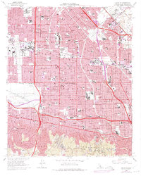
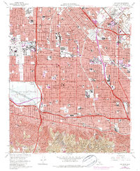
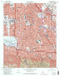
Editions of this 1966 Van Nuys Map
4 editions found
Other maps of this area

1894 · Los Angeles
USGS Topo · 1:62,500

1896 · Santa Monica
USGS Topo · 1:62,500

1898 · Santa Monica
USGS Topo · 1:62,500

1900 · Los Angeles
USGS Topo · 1:62,500

1900 · Fernando
USGS Topo · 1:62,500

1901 · Southern California Sheet No. 1
USGS Topo · 1:250,000

1902 · Santa Monica
USGS Topo · 1:62,500

1903 · Calabasas
USGS Topo · 1:62,500

1903 · Camulos
USGS Topo · 1:125,000

1903 · Santa Susana
USGS Topo · 1:62,500
Featured Places
- Los Angeles, CA
- Los Angeles County, CA
- United States
- California
- Van Nuys Neighborhood Council District, Los Angeles