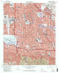
1966 Map of Van Nuys
USGS Topo · Published 1987About this map
The San Fernando Valley landscape shown here is defined by mid-century suburban expansion and the massive infrastructure required to manage it. The Sepulveda Dam Recreational Area dominates the southwest, providing a buffer for the Los Angeles River as it winds through Sherman Oaks and Studio City. This era of the valley is characterized by a dense grid of residential streets punctuated by essential community institutions like the U.S. Veterans Hospital and the Van Nuys Airport. Major transit arteries, including the San Diego Freeway and Hollywood Freeway, serve as the primary conduits through neighborhoods such as Panorama City and North Hollywood. Cultural landmarks like CBS Studios and the Los Encinos State Historic Mon reveal the blend of media industry presence and conserved early California history that shaped the San Fernando Valley's local identity during this period.
Find a feature on this map
98 named features on this map. Tap any name to fly to it.
Don’t see what you’re looking for? This feature index may not catch every label — zoom into the map to look around manually.
Map Details
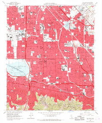
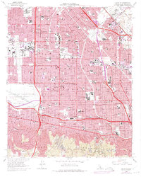
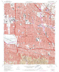
Editions of this 1966 Van Nuys Map
4 editions found
Other maps of this area

1894 · Los Angeles
USGS Topo · 1:62,500

1896 · Santa Monica
USGS Topo · 1:62,500

1898 · Santa Monica
USGS Topo · 1:62,500

1900 · Los Angeles
USGS Topo · 1:62,500

1900 · Fernando
USGS Topo · 1:62,500

1901 · Southern California Sheet No. 1
USGS Topo · 1:250,000

1902 · Santa Monica
USGS Topo · 1:62,500

1903 · Calabasas
USGS Topo · 1:62,500

1903 · Camulos
USGS Topo · 1:125,000

1903 · Santa Susana
USGS Topo · 1:62,500
Featured Places
- Los Angeles, CA
- Los Angeles County, CA
- United States
- California
- Van Nuys Neighborhood Council District, Los Angeles