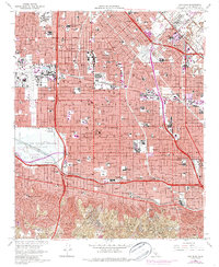
1966 Map of Van Nuys
USGS Topo · Published 1987About this map
Van Nuys and its surrounding communities are shown during a period of rapid suburban densification in the mid-1960s, with later updates tracking the expansion of residential tracts. The landscape is dominated by the massive Sepulveda Dam Recreational Area, which manages the confluence of Bull Creek, Haskell Creek, and the Los Angeles River. This era of development is defined by the intersection of the San Diego Freeway and the Ventura Freeway, creating a hub for neighborhoods like Sherman Oaks and Sepulveda.
Find a feature on this map
103 named features on this map. Tap any name to fly to it.
Don’t see what you’re looking for? This feature index may not catch every label — zoom into the map to look around manually.
Map Details
Editions of this 1966 Van Nuys Map
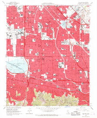
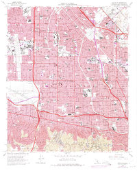
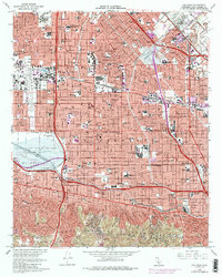
4 editions found
Other maps of this area

1894 · Los Angeles
USGS Topo · 1:62,500

1896 · Santa Monica
USGS Topo · 1:62,500

1898 · Santa Monica
USGS Topo · 1:62,500

1900 · Los Angeles
USGS Topo · 1:62,500

1900 · Fernando
USGS Topo · 1:62,500

1901 · Southern California Sheet No. 1
USGS Topo · 1:250,000

1902 · Santa Monica
USGS Topo · 1:62,500

1903 · Calabasas
USGS Topo · 1:62,500

1903 · Camulos
USGS Topo · 1:125,000

1903 · Santa Susana
USGS Topo · 1:62,500
Featured Places
- Los Angeles, CA
- Los Angeles County, CA
- United States
- California
- Van Nuys Neighborhood Council District, Los Angeles