
1958 Map of Vancouver
USGS Topo · Published 1968About this map
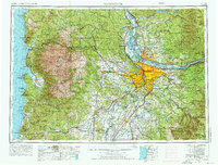
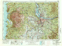
The Columbia River and Willamette River confluence anchors this 1968 publication, which reflects mid-century urban expansion and the critical rail corridors of the Pacific Northwest. The sprawling footprint of Portland and Vancouver dominates the center, while the coastal reaches include Seaside and Tillamook along US Highway 101. This period represents a transition for the region’s timber and transport economy, visible in the dense network of lines like the Spokane Portland and Seattle Ry and the Southern Pacific RR. Beyond the river valleys, the map details the vast peaks of the Cascade Range, including Mount Hood and Mount St Helens, as well as the coastal Saddle Mountain. Federal and state lands such as Siuslaw National Forest and Tillamook State Forest frame the developed corridors, illustrating the enduring balance between industry and protected wilderness.
Find a feature on this map
319 named features on this map. Tap any name to fly to it.
Don’t see what you’re looking for? This feature index may not catch every label — zoom into the map to look around manually.
Map Details
Editions of this 1958 Vancouver Map
3 editions found
Other maps of this area

1897 · Portland
USGS Topo · 1:62,500

1905 · Portland
USGS Topo · 1:62,500

1911 · Boring
USGS Topo · 1:48,000

1914 · Boring
USGS Topo · 1:62,500

1914 · Oregon City
USGS Topo · 1:62,500

1915 · Rickreall
USGS Topo · 1:31,680

1915 · Hillsboro
USGS Topo · 1:62,500

1915 · Eola
USGS Topo · 1:31,680

1916 · Tualatin
USGS Topo · 1:62,500

1916 · Estacada
USGS Topo · 1:125,000