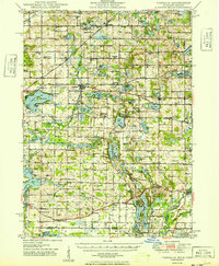
1949 Map of Vandalia
USGS Topo · Published 1949About this map
Vandalia serves as a central hub in this late 1940s landscape, situated along the Grand Trunk Western RR and the highway corridor that would become M-60. The surrounding countryside of Cass County is densely populated with small-scale agricultural landmarks, featuring an exceptional concentration of rural schoolhouses such as the Red Brick Sch, Swamp School, and Five Points Sch. These institutions, alongside numerous country cemeteries like Shaffer Cem and Omerite Cem, reflect a well-established community fabric before the consolidation of rural districts.
Find a feature on this map
138 named features on this map. Tap any name to fly to it.
Don’t see what you’re looking for? This feature index may not catch every label — zoom into the map to look around manually.
Map Details
Editions of this 1949 Vandalia Map
2 editions found

Other maps of this area

1914 · Three Rivers
USGS Topo · 1:62,500

1916 · Three Rivers
USGS Topo · 1:62,500

1922 · Schoolcraft
USGS Topo · 1:62,500

1927 · Hartford
USGS Topo · 1:62,500

1931 · Hartford
USGS Topo · 1:62,500

1943 · Three Rivers
USGS Topo · 1:62,500

1943 · Schoolcraft
USGS Topo · 1:62,500

1944 · Marcellus
USGS Topo · 1:62,500

1945 · Cassopolis
USGS Topo · 1:62,500

1946 · Marcellus
USGS Topo · 1:62,500