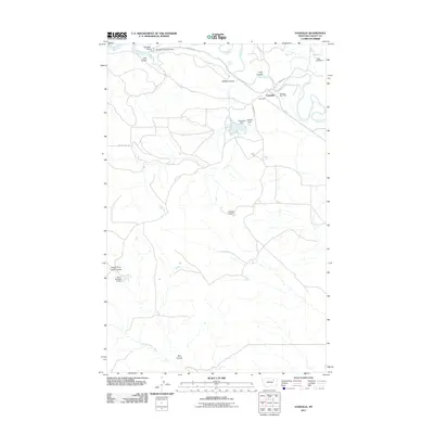
2011 Map of Vandalia
USGS Topo · Published 2011About this map
Vandalia and its surrounding ranchlands are defined by the meandering path of the Milk River and an extensive network of water management infrastructure. This landscape reflects the critical role of irrigation and water storage in Valley County, anchored by the Vandalia Dam and the Vandalia Diversion Dam. The small settlement includes the Vandalia Post Office, serving as a central point for a region dissected by numerous coulees and drainages. The terrain is marked by distinct geological features such as Ash Coulee, Buffalo Coulee, and Long Coulee, which channel runoff toward the river. Smaller earthen dams and reservoirs, including Tigar Milk Dam, Enkrud Dam, and the curiously named Ghost Number 2 Dam, are scattered throughout the territory. These features, along with names like Hardscrabble Creek, suggest the challenges of working this dry, dissected landscape where every drainage and water source is vital for survival and commerce.
Find a feature on this map
20 named features on this map. Tap any name to fly to it.
Don’t see what you’re looking for? This feature index may not catch every label — zoom into the map to look around manually.
Map Details
Editions of this 2011 Vandalia Map
This is the sole edition of this map. No revisions or reprints were ever made.
Other maps of this area

1906 · Hinsdale Special Map
USGS Topo · 1:62,500

1943 · Glasgow
USGS Topo · 1:125,000

1954 · Glasgow
USGS Topo · 1:250,000

1957 · Glasgow
USGS Topo · 1:250,000

1958 · Glasgow
USGS Topo · 1:250,000

1958 · Engstrom Ranch
USGS Topo · 1:24,000

1958 · Miller Coulee
USGS Topo · 1:62,500
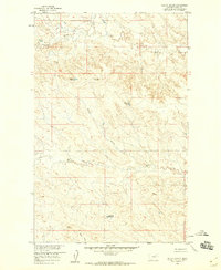
1958 · Billick Coulee
USGS Topo · 1:24,000
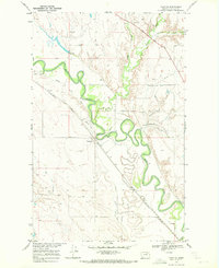
1969 · Tampico
USGS Topo · 1:24,000

1969 · Vandalia
USGS Topo · 1:24,000