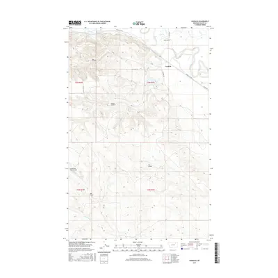
2017 Map of Vandalia
USGS Topo · Published 2017About this map
Vandalia sits at the heart of this Valley County landscape, where human engineering meets the winding course of the Milk River. The settlement is defined by its relationship to the water, bordered by the extensive Vandalia S Canal which snakes through the northern territory to support regional agriculture. The surrounding terrain is heavily dissected by numerous drainage features, reflecting the erosive history of the northern plains.
Find a feature on this map
19 named features on this map. Tap any name to fly to it.
Don’t see what you’re looking for? This feature index may not catch every label — zoom into the map to look around manually.
Map Details
Editions of this 2017 Vandalia Map
This is the sole edition of this map. No revisions or reprints were ever made.
Other maps of this area
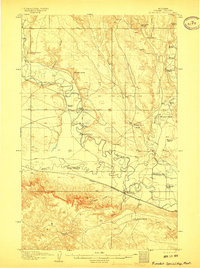
1906 · Hinsdale Special Map
USGS Topo · 1:62,500
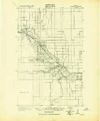
1943 · Glasgow
USGS Topo · 1:125,000
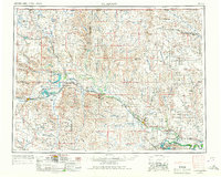
1954 · Glasgow
USGS Topo · 1:250,000
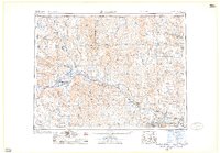
1957 · Glasgow
USGS Topo · 1:250,000
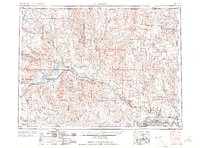
1958 · Glasgow
USGS Topo · 1:250,000
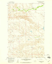
1958 · Engstrom Ranch
USGS Topo · 1:24,000
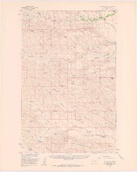
1958 · Miller Coulee
USGS Topo · 1:62,500
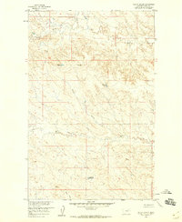
1958 · Billick Coulee
USGS Topo · 1:24,000
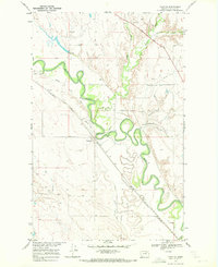
1969 · Tampico
USGS Topo · 1:24,000
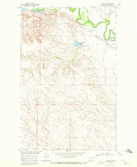
1969 · Vandalia
USGS Topo · 1:24,000