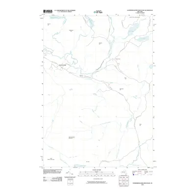
2010 Map of Vanderwhacker Mountain
USGS Topo · Published 2010About this map
The Hudson River carves a central path through this section of the Adirondack Park, where the landscape is defined by its complex network of waterways and prominent peaks. Near the northern reach of the river, the Tahawus Club and the settlement of Winebrook Hills mark the limited human footprint in this mountainous region. The convergence of the Newcomb River and Hyslop Brook with the Hudson highlights the area's significance as a watershed.
Find a feature on this map
38 named features on this map. Tap any name to fly to it.
Don’t see what you’re looking for? This feature index may not catch every label — zoom into the map to look around manually.
Map Details
Editions of this 2010 Vanderwhacker Mountain Map
This is the sole edition of this map. No revisions or reprints were ever made.
Other maps of this area

1895 · Mt. Marcy
USGS Topo · 1:62,500

1897 · Schroon Lake
USGS Topo · 1:62,500

1898 · Newcomb
USGS Topo · 1:62,500

1901 · Newcomb
USGS Topo · 1:62,500

1902 · Mt. Marcy
USGS Topo · 1:62,500

1904 · Santanoni
USGS Topo · 1:62,500

1948 · Ogdensburg
USGS Topo · 1:250,000

1950 · Glens Falls
USGS Topo · 1:250,000

1950 · Lake Champlain
USGS Topo · 1:250,000

1950 · Utica
USGS Topo · 1:250,000