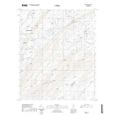
2020 Map of Vandiver
USGS Topo · Published 2020About this map
Oak Mountain and the prominent Double Oak Mountain ridge system define the topography of this corner of Jefferson and Shelby counties. The settlement of Vandiver serves as a central hub for the surrounding rural area, which is punctuated by numerous family and community burial grounds, including the Vandiver Negro Cemetery, Union Hill Cemetery, and Hollis Cemetery. The map captures a landscape where industry and nature meet, shown through the Coosa Tunnel passing beneath Coosa Mountain and the expansive Chelsea Game Preserve to the south.
Find a feature on this map
143 named features on this map. Tap any name to fly to it.
Don’t see what you’re looking for? This feature index may not catch every label — zoom into the map to look around manually.
Map Details
Editions of this 2020 Vandiver Map
This is the sole edition of this map. No revisions or reprints were ever made.
Other maps of this area

1889 · Springville
USGS Topo · 1:125,000

1889 · Birmingham
USGS Topo · 1:125,000

1890 · Bessemer
USGS Topo · 1:125,000

1890 · Talladega
USGS Topo · 1:125,000

1892 · Birmingham
USGS Topo · 1:125,000

1892 · Springville
USGS Topo · 1:125,000

1892 · Talladega
USGS Topo · 1:125,000

1892 · Bessemer
USGS Topo · 1:125,000

1895 · Birmingham
USGS Topo · 1:125,000

1905 · Leeds
USGS Topo · 1:62,500