Loading...
Loading map...1908 Map of Vandiver
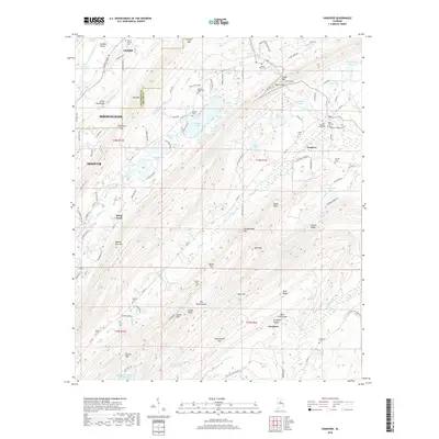
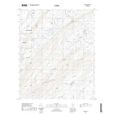
USGS Topo · Published 1928About this map
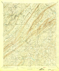
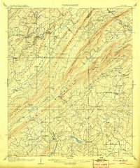
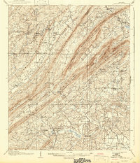
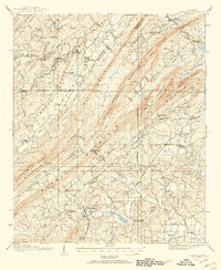
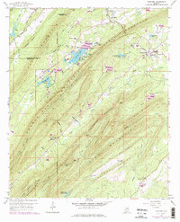
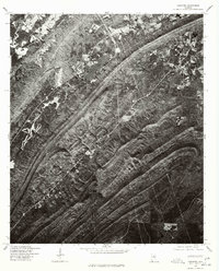
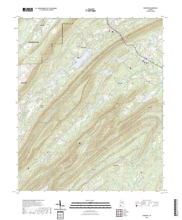
Oak Mountain and Double Oak Mountain define this landscape within the ridge and valley region of Alabama. This survey captures a series of linear ridges and narrow valleys that dictated early settlement patterns along the Cahaba River and Little Cahaba River. Scattered rural communities like Vandiver, Dunnavant, and East Saginaw are connected by historical thoroughfares such as Bolivar Road and Columbiana Road.
Find a feature on this map
84 named features on this map. Tap any name to fly to it.
Don’t see what you’re looking for? This feature index may not catch every label — zoom into the map to look around manually.
Map Details
Date Portrayed1908
Date Published1928
PublisherU.S. Geological Survey
Map TypeTopographic
Scale1:62,500
Physical Dimensions16.5 x 19.9 inches
Editions of this 1908 Vandiver Map
3 editions found
Historical Maps of Birmingham Through Time
9 maps found
Featured Locations
Source Details
SourceU.S. Geological Survey
CopyrightPublic Domain