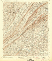
1908 Map of Vandiver
USGS Topo · Published 1942About this map
Oak Mountain and Double Oak Mountain form the backbone of this landscape, defining a series of narrow valleys where agriculture and early industry took root in Shelby County. The Central Of Georgia RR and the Birmingham & Atlantic RR navigate these ridges, connecting settlements like Dunnavant and Vandiver. These rail lines were essential for the movement of goods in a region where the Cahaba River and its many tributaries, including Yellow Leaf Creek and Shades Creek, carve through the terrain.
Find a feature on this map
85 named features on this map. Tap any name to fly to it.
Don’t see what you’re looking for? This feature index may not catch every label — zoom into the map to look around manually.
Map Details
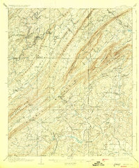
Editions of this 1908 Vandiver Map
3 editions found

Other maps of this area

1889 · Springville
USGS Topo · 1:125,000

1889 · Birmingham
USGS Topo · 1:125,000

1890 · Bessemer
USGS Topo · 1:125,000

1890 · Talladega
USGS Topo · 1:125,000

1892 · Birmingham
USGS Topo · 1:125,000

1892 · Springville
USGS Topo · 1:125,000

1892 · Talladega
USGS Topo · 1:125,000

1892 · Bessemer
USGS Topo · 1:125,000

1895 · Birmingham
USGS Topo · 1:125,000

1904 · Birmingham Coal District
USGS Topo · 1:62,500