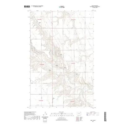
2020 Map of Vang
USGS Topo · Published 2020About this map
Pembina Valley dominates the central portion of this Cavalier County landscape, where the Pembina River and its tributaries carve deep relief into the surrounding plains. The settlement of Vang sits along 103rd St NE, serving as a local anchor in an area defined by isolated farmsteads and significant topographical landmarks. Numerous named summits rise from the valley floor, including Three Sisters Hill, Norman Otto Hill, and Old Baldy, which provide clear orientation points for researchers tracing the historical geography of the region.
Find a feature on this map
42 named features on this map. Tap any name to fly to it.
Don’t see what you’re looking for? This feature index may not catch every label — zoom into the map to look around manually.
Map Details
Editions of this 2020 Vang Map
This is the sole edition of this map. No revisions or reprints were ever made.
Other maps of this area

1918 · Walhalla
USGS Topo · 1:62,500

1943 · Walhalla
USGS Topo · 1:62,500

1952 · Thief River Falls
USGS Topo · 1:250,000

1953 · Devils Lake
USGS Topo · 1:250,000

1956 · Thief River Falls
USGS Topo · 1:250,000

1956 · Devils Lake
USGS Topo · 1:250,000

1957 · Thief River Falls
USGS Topo · 1:250,000

1964 · Walhalla
USGS Topo · 1:24,000
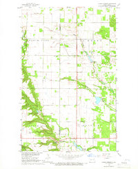
1964 · Hanks Corner
USGS Topo · 1:24,000

1967 · Thief River Falls
USGS Topo · 1:250,000