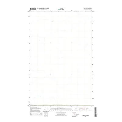
2014 Map of Vang OE N
USGS Topo · Published 2014About this map
This remote stretch of the high plains in Cavalier County is defined by its position along the international border, where the northern edge of North Dakota meets Canada. The landscape is sparse, characterized by intermittent drainage patterns and small depressions that typify the glacially-formed terrain of the region. As a 2014 survey, the map illustrates the modern spatial organization of this borderland area, focusing on the natural hydrography and the transition into Canadian territory. The lack of named settlements or major landmarks underscores the rural, agricultural character of the far northern reaches of the state, where the primary defining feature is the political boundary itself.
Find a feature on this map
1 named feature on this map. Tap any name to fly to it.
Don’t see what you’re looking for? This feature index may not catch every label — zoom into the map to look around manually.
Map Details
Editions of this 2014 Vang OE N Map
This is the sole edition of this map. No revisions or reprints were ever made.
Other maps of this area

1918 · Walhalla
USGS Topo · 1:62,500

1943 · Walhalla
USGS Topo · 1:62,500

1952 · Thief River Falls
USGS Topo · 1:250,000

1953 · Devils Lake
USGS Topo · 1:250,000

1956 · Thief River Falls
USGS Topo · 1:250,000

1956 · Devils Lake
USGS Topo · 1:250,000

1957 · Thief River Falls
USGS Topo · 1:250,000

1964 · Walhalla
USGS Topo · 1:24,000

1967 · Thief River Falls
USGS Topo · 1:250,000

1969 · Olga NW
USGS Topo · 1:24,000