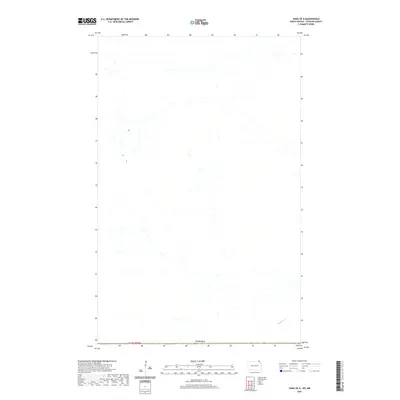
2020 Map of Vang OE N
USGS Topo · Published 2020About this map
Canada marks the northern extent of this landscape in the northernmost reaches of Cavalier County. The terrain is defined by the winding course of Buffalo Cr in the southeastern corner, where it cuts through the rural township of T164n R58w. This 2020 update by the U.S. Geological Survey provides a clear view of the international border and the sparse drainage patterns of this borderland region. While largely dominated by agricultural grids and open land, the map serves as a precise record of the current hydrological and boundary lines where North Dakota meets its northern neighbor.
Find a feature on this map
3 named features on this map. Tap any name to fly to it.
Don’t see what you’re looking for? This feature index may not catch every label — zoom into the map to look around manually.
Map Details
Editions of this 2020 Vang OE N Map
This is the sole edition of this map. No revisions or reprints were ever made.
Other maps of this area

1918 · Walhalla
USGS Topo · 1:62,500

1943 · Walhalla
USGS Topo · 1:62,500

1952 · Thief River Falls
USGS Topo · 1:250,000

1953 · Devils Lake
USGS Topo · 1:250,000

1956 · Thief River Falls
USGS Topo · 1:250,000

1956 · Devils Lake
USGS Topo · 1:250,000

1957 · Thief River Falls
USGS Topo · 1:250,000

1964 · Walhalla
USGS Topo · 1:24,000

1967 · Thief River Falls
USGS Topo · 1:250,000

1969 · Olga NW
USGS Topo · 1:24,000